Channel & Berth Profile
Pilotage, Tugs & Services
Pilotage compulsoryYES
Pilotage availableYES
Tug assistanceYES
Salvage tugsYES
Potable waterYES
MedicalYES
Garbage disposalYES
Facilities & Capabilities
Container—
Ro-Ro—
Liquid bulk—
Dry bulk—
Oil terminal—
Break bulk—
Dry dock—
RepairsNO
BunkeringYES
Rail linkYES
Dangerous cargo—
ISPS security—
Harbour Specifications
Harbour size
Very Small
Harbour type
Coastal (Natural)
Shelter
Good
Water body
Bass Strait; South Pacific Ocean
Tidal range
3 m
Overhead limit
Yes
Pilotage
Yes
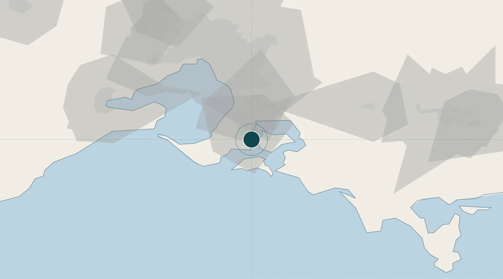
Location
Nearby Logistics Neighbours
Ports
- 1Melbourne62 km
- 2Geelong79 km
- 3Welshpool114 km
- 4Warrnambool240 km
- 5Stanley269 km
Cities
- 1Hampton2 km
- 2Tankerton6 km
- 3Hastings6 km
- 4Balnarring9 km
- 5Phillip Island15 km
Airports
Trade Zones
DatabookThe Record of Consolidated Knowledge
Australia beyond logistics?