Seaport · Australia
MelbourneAUMEL
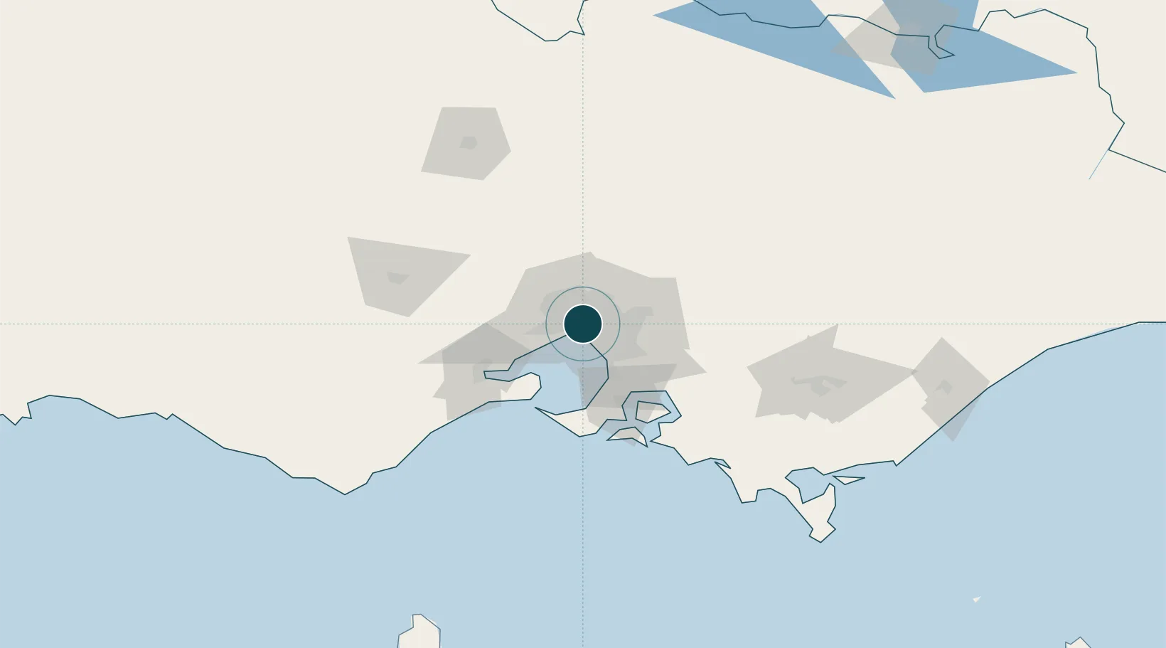
-37.8333°, 144.9667°
11.6 m
Channel depth
5
Container terminals
281.5
Port liner connectivity
Channel & Berth Profile
Pilotage, Tugs & Services
Pilotage compulsoryYES
Pilotage availableYES
Pilotage advisableYES
Tug assistanceYES
Salvage tugsNO
Shore powerYES
Potable waterYES
Diesel bunkersYES
MedicalYES
Garbage disposalYES
Facilities & Capabilities
Container—
Ro-Ro—
Liquid bulk—
Dry bulk—
Oil terminal—
Break bulk—
Dry dockNO
RepairsNO
BunkeringYES
Rail linkYES
Dangerous cargo—
ISPS security—
Harbour Specifications
Harbour size
Large
Harbour type
Coastal (Natural)
Shelter
Excellent
Water body
Bass Strait; South Pacific Ocean
Tidal range
0.8 m
Overhead limit
Yes
Pilotage
Yes
Liner Connectivity
281.5
PLSCI
Port Liner Shipping Connectivity Index for Melbourne, as published by UNCTAD for the latest available quarter. Higher values indicate stronger scheduled liner-shipping integration.
Shown relative to the highest per-port PLSCI in the dataset (1,657.9).
Location
Container Terminals · 5
AAT MELBOURNE APPLETON DOCK
AATAD AUSTRALIAN AMALGAMATED TERMINALS
PATRICK EAST SWANSON DOCK TERMINAL
ASES1 PATRICK
QUBE PORTS APPLETON DOCK
CONMEL QUBE PORTS PTY LTD
DP WORLD WEST SWANSON DOCK TERMINAL
CONWS DP WORLD (AUSTRALIA)
VICT WEBB DOCK EAST
VICTM VICTORIA INTERNATIONAL CONTAINER TERMINAL
Nearby Logistics Neighbours
Ports
- 1Western Port62 km
- 2Geelong63 km
- 3Welshpool163 km
- 4Warrnambool226 km
- 5Portland300 km
Cities
- 1Knoxfield2 km
- 2Southbank2 km
- 3West Melbourne2 km
- 4Richmond3 km
- 5Prahran4 km
Airports
- 1Melbourne Essendon Airport13 km
- 2Melbourne Moorabbin Airport20 km
- 3Melbourne Airport21 km
- 4Melbourne Avalon International Airport50 km
- 5Bendigo Airport134 km
Trade Zones
DatabookThe Record of Consolidated Knowledge
Australia beyond logistics?