Medium airport · Australia

West Sale AirportYWSL
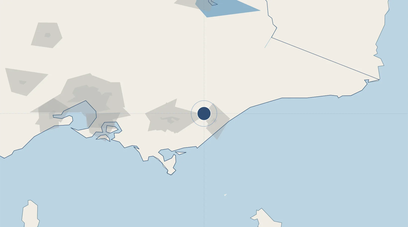
-38.0908°, 146.9653°
5,010 ft
Longest runway
3
Runways
72 ft
Elevation

Runway & Layout

West Sale Airport runway & taxiway layout
Runway & taxiway layout — OpenStreetMap (ODbL) / OurAirports

Radio Frequencies

CLD
133.6 MHz
SALE CLNC DEL
APP
123.3 MHz
SALE APP
CTAF
118.3 MHz
FSS
124 MHz
MELBOURNE CNTR
OurAirports

Runways · 3

RunwayDimensions SurfaceTrue headingLit
09/27 5,010 × 98ft Asphalt 100°
14/32 2,293 × 98ft Grass 146°
05/23 1,640 × 98ft Grass 057°
OurAirports

Airport Specifications

IATA code
SXE
OurAirports
ICAO code
YWSL
OurAirports
Airport class
Medium airport
OurAirports
Scheduled service
No
OurAirports
Runway surface
Asphalt
OurAirports
Served city
Sale
OurAirports

Location

Location of YWSL
Natural Earth 10m (public domain) · Victoria · YWSL · -38.09, 146.97GoogleOSMYandex

Nearby Logistics Neighbours

Airports
  1. 1RAAF Base East Sale16 km
  2. 2Latrobe Valley Airport45 km
  3. 3Bairnsdale Airport58 km
  4. 4Mount Hotham Airport121 km
  5. 5Melbourne Moorabbin Airport164 km
Nearest neighbours — logibook spatial index (haversine) over the source coordinates
Cities
  1. 1Bushy Park26 km
  2. 2Flynn26 km
  3. 3Hillside55 km
  4. 4Moe62 km
  5. 5Welshpool79 km
Nearest neighbours — logibook spatial index (haversine) over the source coordinates
Ports
  1. 1Welshpool81 km
  2. 2Western Port154 km
  3. 3Melbourne178 km
  4. 4Geelong227 km
  5. 5Eden284 km
Nearest neighbours — logibook spatial index (haversine) over the source coordinates
Trade Zones
  1. 1Latrobe Valley Economic Growth Zone53 km
  2. 2Hicks Bay Area Special Economic Zone2725 km
  3. 3Paga Hill Estate Special Economic Zone3181 km
  4. 4Vanuatu Economic Development Zone3198 km
  5. 5Ihu Special Economic Zone3361 km
Nearest neighbours — logibook spatial index (haversine) over the source coordinates
DatabookThe Record of Consolidated Knowledge
Australia beyond logistics?
Browse databook

All Sources

AirportsOurAirports
Public domain
Portsthe NGA World Port Index
Public domain (US gov)
LocationsUN/LOCODE
UN/LOCODE — free
Trade Zonesthe World Bank SEZ database
CC BY 4.0
Trade ZonesOpen Zone Map
CC BY
InfrastructureOpenStreetMap
ODbL 1.0
← Australia airports