Transport Functions
Multimodal
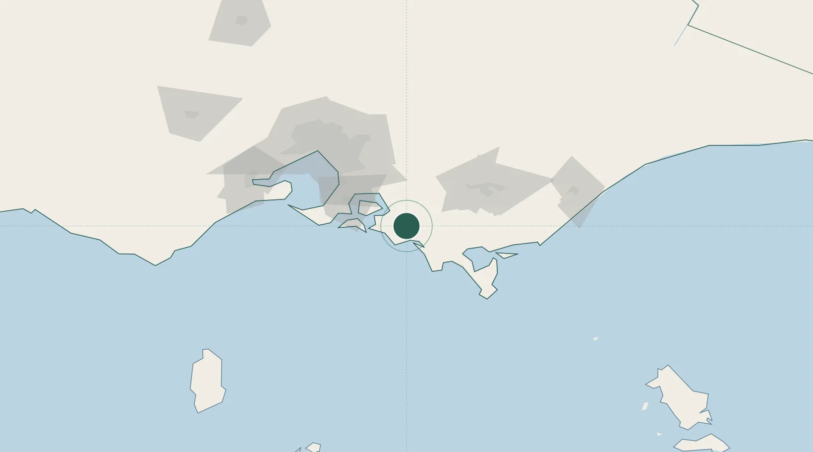
Hub Profile
Place type
Populated place
Region
Victoria
Population
193
Time zone
Australia/Melbourne
Elevation
83 m
Location
Nearby Logistics Neighbours
Cities
- 1Glen Forbes16 km
- 2The Gurdies21 km
- 3Berrys Creek34 km
- 4Tankerton39 km
- 5Phillip Island41 km
Ports
- 1Western Port45 km
- 2Welshpool70 km
- 3Melbourne99 km
- 4Geelong123 km
- 5Stanley253 km
Airports
- 1Latrobe Valley Airport75 km
- 2Melbourne Moorabbin Airport80 km
- 3Melbourne Essendon Airport112 km
- 4Melbourne Avalon International Airport120 km
- 5West Sale Airport120 km
Trade Zones
DatabookThe Record of Consolidated Knowledge
Australia beyond logistics?