Medium airport · Australia

RAAF Base East SaleYMES
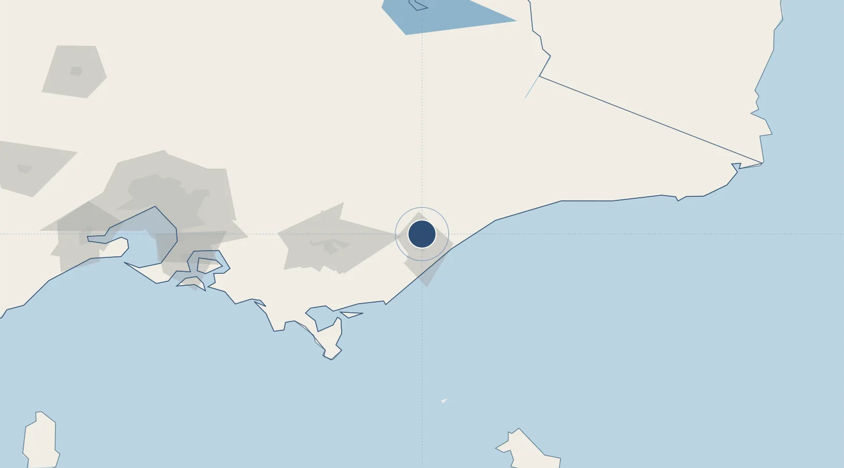
-38.0989°, 147.1490°
7,995 ft
Longest runway
2
Runways
23 ft
Elevation

Runway & Layout

RAAF Base East Sale runway & taxiway layout
Runway & taxiway layout — OpenStreetMap (ODbL) / OurAirports

Radio Frequencies

ATIS
31.62 MHz
TWR
118.3 MHz
SALE TWR
GND
134.1 MHz
SALE GND
CLD
133.6 MHz
SALE CLNC DEL
APP
123.3 MHz
SALE APP
CTAF
118.3 MHz
FSS
124 MHz
MELBOURNE CNTR
OurAirports

Navaids

ESL TACAN East Sale 113.50 MHz
ESL NDB East Sale 350 kHz
OurAirports

Runways · 2

RunwayDimensions SurfaceTrue headingLit
04/22 7,995 × 148ft Asphalt 054°
09/27 7,316 × 148ft Asphalt 099°
OurAirports

Airport Specifications

ICAO code
YMES
OurAirports
Airport class
Medium airport
OurAirports
Scheduled service
No
OurAirports
Runway surface
Asphalt
OurAirports

Location

Location of YMES
Natural Earth 10m (public domain) · Victoria · YMES · -38.10, 147.15GoogleOSMYandex

Nearby Logistics Neighbours

Airports
  1. 1West Sale Airport16 km
  2. 2Bairnsdale Airport44 km
  3. 3Latrobe Valley Airport61 km
  4. 4Mount Hotham Airport118 km
  5. 5Melbourne Moorabbin Airport180 km
Nearest neighbours — logibook spatial index (haversine) over the source coordinates
Cities
  1. 1Bushy Park28 km
  2. 2Flynn41 km
  3. 3Hillside43 km
  4. 4Lakes Entrance77 km
  5. 5Moe78 km
Nearest neighbours — logibook spatial index (haversine) over the source coordinates
Ports
  1. 1Welshpool90 km
  2. 2Western Port170 km
  3. 3Melbourne194 km
  4. 4Geelong243 km
  5. 5Eden270 km
Nearest neighbours — logibook spatial index (haversine) over the source coordinates
Trade Zones
  1. 1Latrobe Valley Economic Growth Zone68 km
  2. 2Hicks Bay Area Special Economic Zone2709 km
  3. 3Paga Hill Estate Special Economic Zone3182 km
  4. 4Vanuatu Economic Development Zone3187 km
  5. 5Ihu Special Economic Zone3363 km
Nearest neighbours — logibook spatial index (haversine) over the source coordinates
DatabookThe Record of Consolidated Knowledge
Australia beyond logistics?
Browse databook

All Sources

AirportsOurAirports
Public domain
Portsthe NGA World Port Index
Public domain (US gov)
LocationsUN/LOCODE
UN/LOCODE — free
Trade Zonesthe World Bank SEZ database
CC BY 4.0
Trade ZonesOpen Zone Map
CC BY
InfrastructureOpenStreetMap
ODbL 1.0
← Australia airports