Medium airport · Australia

Latrobe Valley AirportYLTV
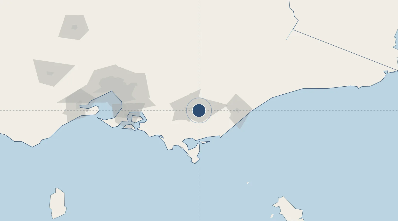
-38.2110°, 146.4708°
4,692 ft
Longest runway
3
Runways
180 ft
Elevation

Runway & Layout

Latrobe Valley Airport runway & taxiway layout
Runway & taxiway layout — OpenStreetMap (ODbL) / OurAirports

Radio Frequencies

CTAF
126 MHz
Unicom
126 MHz
UNICOM
FSS
124 MHz
MELBOURNE CNTR
OurAirports

Navaids

LTV NDB Latrobe Valley 486 kHz
OurAirports

Runways · 3

RunwayDimensions SurfaceTrue headingLit
03/21 4,692 × 75ft Asphalt 045°
09/27 3,015 × 60ft Gravel 097°
03L/21R 1,529 × 164ft Turf/Grass
OurAirports

Airport Specifications

IATA code
TGN
OurAirports
ICAO code
YLTV
OurAirports
Airport class
Medium airport
OurAirports
Scheduled service
No
OurAirports
Runway surface
Asphalt
OurAirports
Served city
Morwell
OurAirports

Location

Location of YLTV
Natural Earth 10m (public domain) · Victoria · YLTV · -38.21, 146.47GoogleOSMYandex

Nearby Logistics Neighbours

Airports
  1. 1West Sale Airport45 km
  2. 2RAAF Base East Sale61 km
  3. 3Bairnsdale Airport103 km
  4. 4Melbourne Moorabbin Airport123 km
  5. 5Melbourne Essendon Airport148 km
Nearest neighbours — logibook spatial index (haversine) over the source coordinates
Cities
  1. 1Moe19 km
  2. 2Flynn19 km
  3. 3Berrys Creek42 km
  4. 4Warragul47 km
  5. 5Welshpool51 km
Nearest neighbours — logibook spatial index (haversine) over the source coordinates
Ports
  1. 1Welshpool54 km
  2. 2Western Port109 km
  3. 3Melbourne138 km
  4. 4Geelong184 km
  5. 5Stanley302 km
Nearest neighbours — logibook spatial index (haversine) over the source coordinates
Trade Zones
  1. 1Latrobe Valley Economic Growth Zone8 km
  2. 2Hicks Bay Area Special Economic Zone2765 km
  3. 3Paga Hill Estate Special Economic Zone3195 km
  4. 4Vanuatu Economic Development Zone3237 km
  5. 5Ihu Special Economic Zone3373 km
Nearest neighbours — logibook spatial index (haversine) over the source coordinates
DatabookThe Record of Consolidated Knowledge
Australia beyond logistics?
Browse databook

All Sources

AirportsOurAirports
Public domain
Portsthe NGA World Port Index
Public domain (US gov)
LocationsUN/LOCODE
UN/LOCODE — free
Trade Zonesthe World Bank SEZ database
CC BY 4.0
Trade ZonesOpen Zone Map
CC BY
InfrastructureOpenStreetMap
ODbL 1.0
← Australia airports