Medium airport · Australia

Bairnsdale AirportYBNS
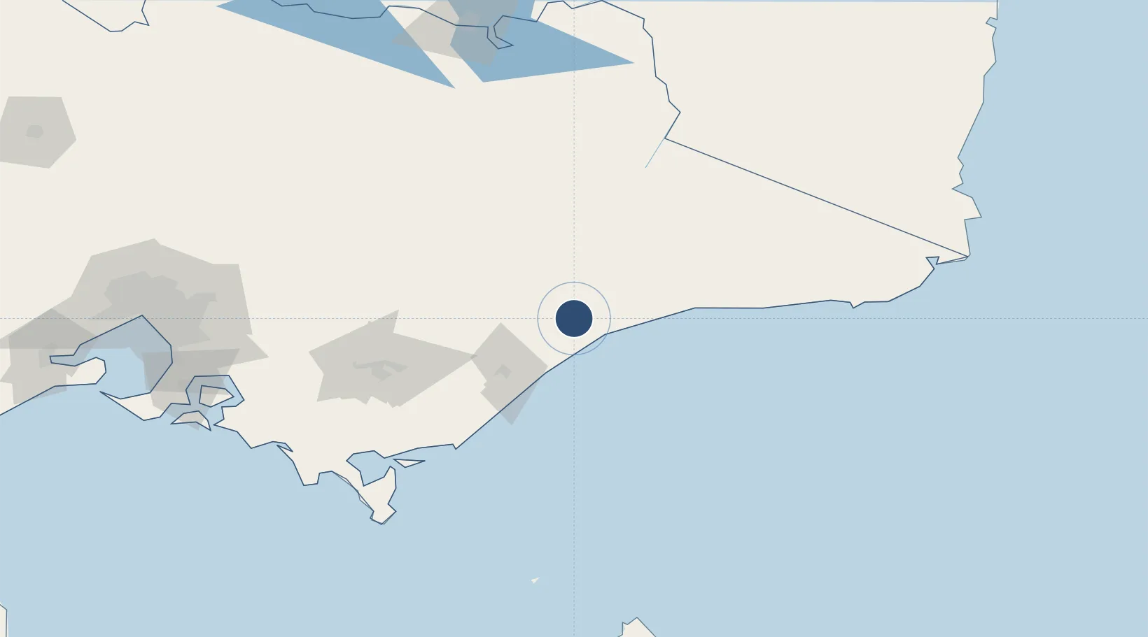
-37.8875°, 147.5694°
3,612 ft
Longest runway
2
Runways
165 ft
Elevation

Runway & Layout

Bairnsdale Airport runway & taxiway layout
Runway & taxiway layout — OpenStreetMap (ODbL) / OurAirports

Radio Frequencies

CTAF
126.7 MHz
AWIS
133.725 MHz
FSS
124 MHz
MELBOURNE CNTR
PAL
123.9 MHz
OurAirports

Navaids

BNS NDB Bairnsdale 212 kHz
OurAirports

Runways · 2

RunwayDimensions SurfaceTrue headingLit
04/22 3,612 × 98ft Asphalt 055°
14/32 2,789 × 60ft Asphalt 145°
OurAirports

Airport Specifications

IATA code
BSJ
OurAirports
ICAO code
YBNS
OurAirports
Airport class
Medium airport
OurAirports
Scheduled service
No
OurAirports
Runway surface
Asphalt
OurAirports
Served city
Bairnsdale
OurAirports

Location

Location of YBNS
Natural Earth 10m (public domain) · Victoria · YBNS · -37.89, 147.57GoogleOSMYandex

Nearby Logistics Neighbours

Airports
  1. 1RAAF Base East Sale44 km
  2. 2West Sale Airport58 km
  3. 3Mount Hotham Airport96 km
  4. 4Latrobe Valley Airport103 km
  5. 5Corryong Airport192 km
Nearest neighbours — logibook spatial index (haversine) over the source coordinates
Cities
  1. 1Hillside9 km
  2. 2Lakes Entrance36 km
  3. 3Bushy Park47 km
  4. 4Flynn84 km
  5. 5Moe118 km
Nearest neighbours — logibook spatial index (haversine) over the source coordinates
Ports
  1. 1Welshpool132 km
  2. 2Western Port211 km
  3. 3Eden226 km
  4. 4Melbourne229 km
  5. 5Geelong282 km
Nearest neighbours — logibook spatial index (haversine) over the source coordinates
Trade Zones
  1. 1Latrobe Valley Economic Growth Zone110 km
  2. 2Hicks Bay Area Special Economic Zone2676 km
  3. 3Vanuatu Economic Development Zone3145 km
  4. 4Paga Hill Estate Special Economic Zone3159 km
  5. 5Ihu Special Economic Zone3342 km
Nearest neighbours — logibook spatial index (haversine) over the source coordinates
DatabookThe Record of Consolidated Knowledge
Australia beyond logistics?
Browse databook

All Sources

AirportsOurAirports
Public domain
Portsthe NGA World Port Index
Public domain (US gov)
LocationsUN/LOCODE
UN/LOCODE — free
Trade Zonesthe World Bank SEZ database
CC BY 4.0
Trade ZonesOpen Zone Map
CC BY
InfrastructureOpenStreetMap
ODbL 1.0
← Australia airports