Seaport · Australia

GeelongAUGEX

-38.1500°, 144.3667°
12.3 m
Channel depth
7.8
Port liner connectivity

Channel & Berth Profile

SEA LEVEL (CD)CHANNEL BEDAnchorage · 7.0 mCargo pier · 9.1 mChannel · 12.3 mOil terminal · 12.3 m
NGA World Port Index

Pilotage, Tugs & Services

Pilotage compulsoryYES
Pilotage availableYES
Pilotage advisableYES
Tug assistanceYES
Shore powerYES
Potable waterYES
Diesel bunkersYES
MedicalYES
Garbage disposalYES
NGA World Port Index

Facilities & Capabilities

Container
Ro-Ro
Liquid bulk
Dry bulk
Oil terminal
Break bulk
Dry dockNO
RepairsNO
BunkeringYES
Rail linkYES
Dangerous cargoALLOW
ISPS security
NGA World Port Index

Harbour Specifications

Harbour size
Medium
NGA World Port Index
Harbour type
Coastal (Natural)
NGA World Port Index
Shelter
Excellent
NGA World Port Index
Water body
Bass Strait; South Pacific Ocean
NGA World Port Index
Tidal range
1 m
NGA World Port Index
Pilotage
Yes
NGA World Port Index

Liner Connectivity

7.8
PLSCI

Port Liner Shipping Connectivity Index for Geelong, as published by UNCTAD for the latest available quarter. Higher values indicate stronger scheduled liner-shipping integration.

Shown relative to the highest per-port PLSCI in the dataset (1,657.9).
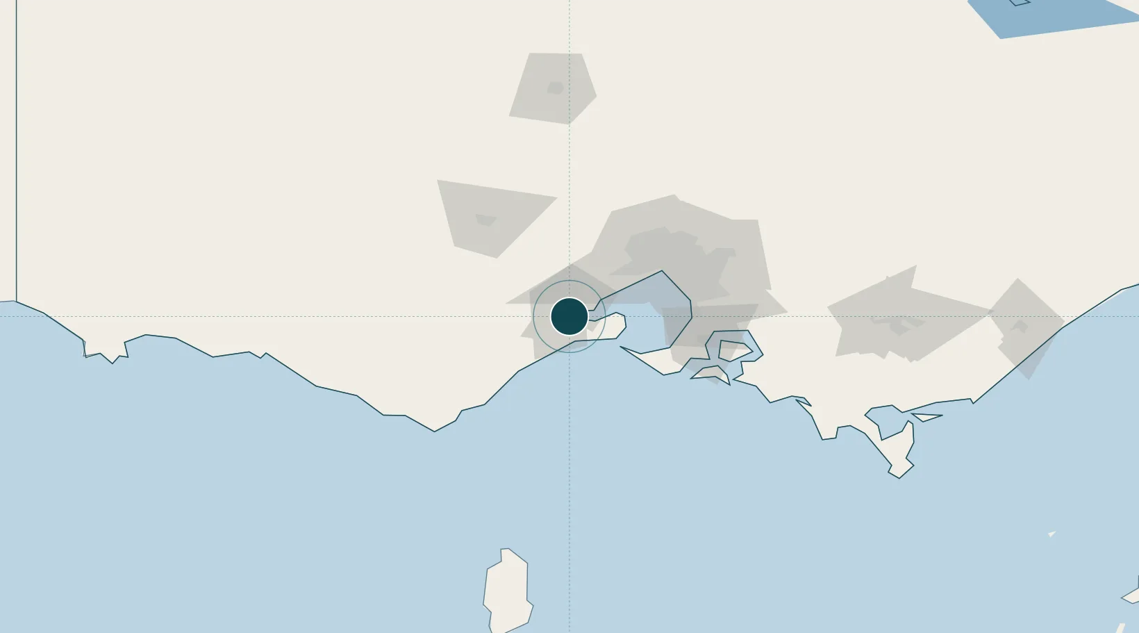
UNCTAD · Port Liner Shipping Connectivity Index

Location

Location of AUGEX
Natural Earth 10m (public domain) · Victoria · AUGEX · -38.15, 144.37GoogleOSMYandex

Nearby Logistics Neighbours

Ports
  1. 1Melbourne63 km
  2. 2Western Port79 km
  3. 3Warrnambool167 km
  4. 4Welshpool193 km
  5. 5Portland243 km
Nearest neighbours — logibook spatial index (haversine) over the source coordinates
Cities
  1. 1Geelong West2 km
  2. 2North Geelong5 km
  3. 3Corio Bay7 km
  4. 4Point Henry Pier/Melbourne7 km
  5. 5Drysdale18 km
Nearest neighbours — logibook spatial index (haversine) over the source coordinates
Airports
  1. 1Melbourne Avalon International Airport15 km
  2. 2Melbourne Essendon Airport66 km
  3. 3Melbourne Moorabbin Airport67 km
  4. 4Melbourne Airport67 km
  5. 5Ararat Airport153 km
Nearest neighbours — logibook spatial index (haversine) over the source coordinates
Trade Zones
  1. 1Latrobe Valley Economic Growth Zone177 km
  2. 2Paga Hill Estate Special Economic Zone3200 km
  3. 3Vanuatu Economic Development Zone3365 km
  4. 4Ihu Special Economic Zone3366 km
  5. 5Western Province Special Economic Zone3500 km
Nearest neighbours — logibook spatial index (haversine) over the source coordinates
DatabookThe Record of Consolidated Knowledge
Australia beyond logistics?
Browse databook

All Sources

Portsthe NGA World Port Index
Public domain (US gov)
Logistics performanceUNCTAD
CC BY 3.0 IGO
AirportsOurAirports
Public domain
LocationsUN/LOCODE
UN/LOCODE — free
Trade Zonesthe World Bank SEZ database
CC BY 4.0
Trade ZonesOpen Zone Map
CC BY
← Australia ports