Specialized Zone · New Zealand
Hicks Bay Area Special Economic Zone Under Development
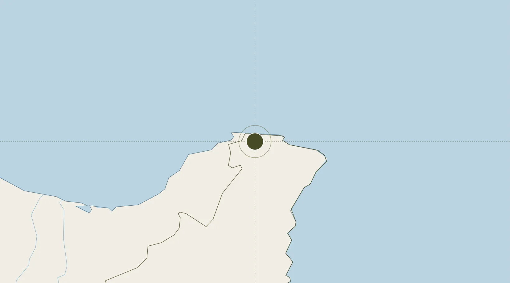
-37.5985°, 178.1356°
77 ha
Zone area
119.1 km
Nearest port
113.0 km
Nearest airport
Gateway access
Zone profile
Zone type
Specialized Zone
Specialization
Biotech
Region
Gisborne District
Status
Under Development
Management
Public
Operator
Ministry of Agriculture and Forestry
Legal framework
Shane Jones' "Blue Highway" Bill
Location
Nearby Logistics Neighbours
Ports
- 1Gisborne119 km
- 2Tauranga174 km
- 3Napier235 km
- 4Manukau Harbor306 km
- 5Auckland310 km
Airports
- 1Whakatāne Airport113 km
- 2Gisborne Airport119 km
- 3Rotorua Regional Airport170 km
- 4Wairoa Airport170 km
- 5Tauranga Airport171 km
Cities
- 1White Island84 km
- 2Opotiki92 km
- 3Gisborne120 km
- 4Tauranga178 km
- 5Paeroa219 km
Trade Zones
- 1Rotuma-Kadavu Tax-Free Region2164 km
- 2Kalabu Tax Free Zone2170 km
- 3Nausori-Ba Tax-Free Region2177 km
- 4Lautoka Special Zone2223 km
- 5Savusavu Industrial Zone2318 km
DatabookThe Record of Consolidated Knowledge
New Zealand beyond logistics?