Transport Functions
Port
Multimodal
Hub Profile
Place type
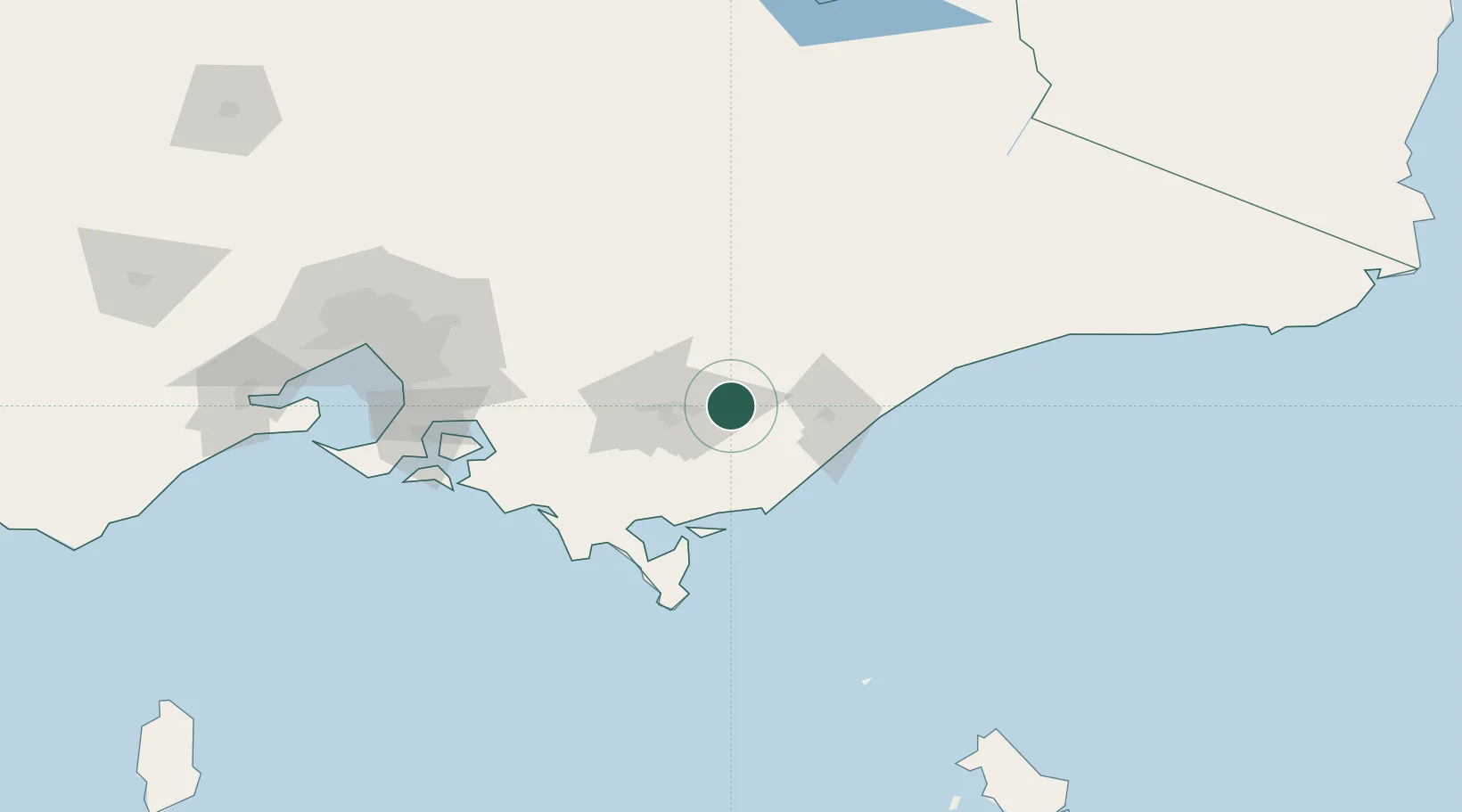
Populated place
Region
Victoria
Population
182
Time zone
Australia/Melbourne
Elevation
25 m
Location
Nearby Logistics Neighbours
Cities
- 1Moe36 km
- 2Bushy Park45 km
- 3Welshpool60 km
- 4Berrys Creek61 km
- 5Barry Beach65 km
Ports
- 1Welshpool62 km
- 2Western Port128 km
- 3Melbourne155 km
- 4Geelong203 km
- 5Eden310 km
Airports
- 1Latrobe Valley Airport19 km
- 2West Sale Airport26 km
- 3RAAF Base East Sale41 km
- 4Bairnsdale Airport84 km
- 5Mount Hotham Airport137 km
Trade Zones
DatabookThe Record of Consolidated Knowledge
Australia beyond logistics?