Medium airport · Australia
Melbourne Moorabbin AirportYMMB
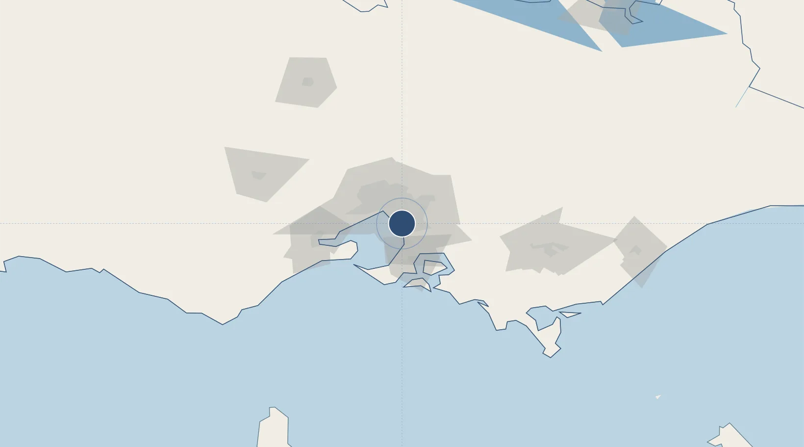
-37.9778°, 145.0998°
4,380 ft
Longest runway
5
Runways
50 ft
Elevation
Runway & Layout

Radio Frequencies
ATIS
120.9 MHz
TWR
118.1 MHz
East
TWR
123 MHz
West
CTAF
118.1 MHz
When TWR not operating
AWIS
120.9 MHz
A/hours
FIA
135.7 MHz
Melb CNTR
Fuel
121.65 MHz
World Fuel
SMC
134.25 MHz
Navaids
MB NDB Moorabbin 398 kHz
Runways · 5
| Runway | Dimensions | Surface | True heading | Lit |
|---|---|---|---|---|
| 17L/35R | 4,380 × 98ft | Asphalt | 176° | ✓ |
| 17R/35L | 4,069 × 60ft | Asphalt | 176° | — |
| 13L/31R | 3,770 × 98ft | Asphalt | 142° | ✓ |
| 13R/31L | 3,478 × 60ft | Asphalt | 142° | — |
| 04/22 | 1,873 × 60ft | Asphalt | 047° | ✓ |
Airport Specifications
IATA code
MBW
ICAO code
YMMB
Airport class
Medium airport
Scheduled service
Yes
Runway surface
Asphalt
Served city
Melbourne
Location
Nearby Logistics Neighbours
Airports
- 1Melbourne Essendon Airport33 km
- 2Melbourne Airport41 km
- 3Melbourne Avalon International Airport56 km
- 4Latrobe Valley Airport123 km
- 5Bendigo Airport154 km
Cities
- 1Braeside2 km
- 2Waterways3 km
- 3Mentone3 km
- 4Dingley Village3 km
- 5Mordialloc5 km
Ports
- 1Melbourne20 km
- 2Western Port43 km
- 3Geelong67 km
- 4Welshpool144 km
- 5Warrnambool233 km
Trade Zones
DatabookThe Record of Consolidated Knowledge
Australia beyond logistics?