Transport Functions
Multimodal
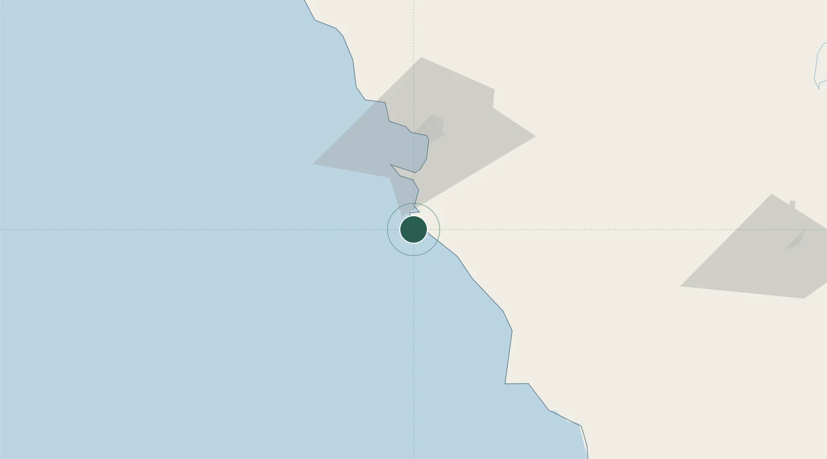
Hub Profile
Place type
Populated place
Region
Baja California
Population
431
Time zone
America/Tijuana
Elevation
203 m
Location
Nearby Logistics Neighbours
Cities
- 1Ensenada35 km
- 2Midland76 km
- 3Rosarito97 km
- 4Rosarito Terminal100 km
- 5Tijuana109 km
Ports
- 1Ensenada39 km
- 2Rosarito103 km
- 3San Diego142 km
- 4Avalon256 km
- 5Newport Beach261 km
Airports
Trade Zones
- 1FTZ No. 153 San Diego127 km
- 2FTZ No. 257 Imperial County174 km
- 3FTZ No. 219 Yuma234 km
- 4FTZ No. 236 Palm Springs257 km
- 5FTZ No. 244 Riverside County273 km
DatabookThe Record of Consolidated Knowledge
Mexico beyond logistics?