UN/LOCODE hub · Mexico
MXESE
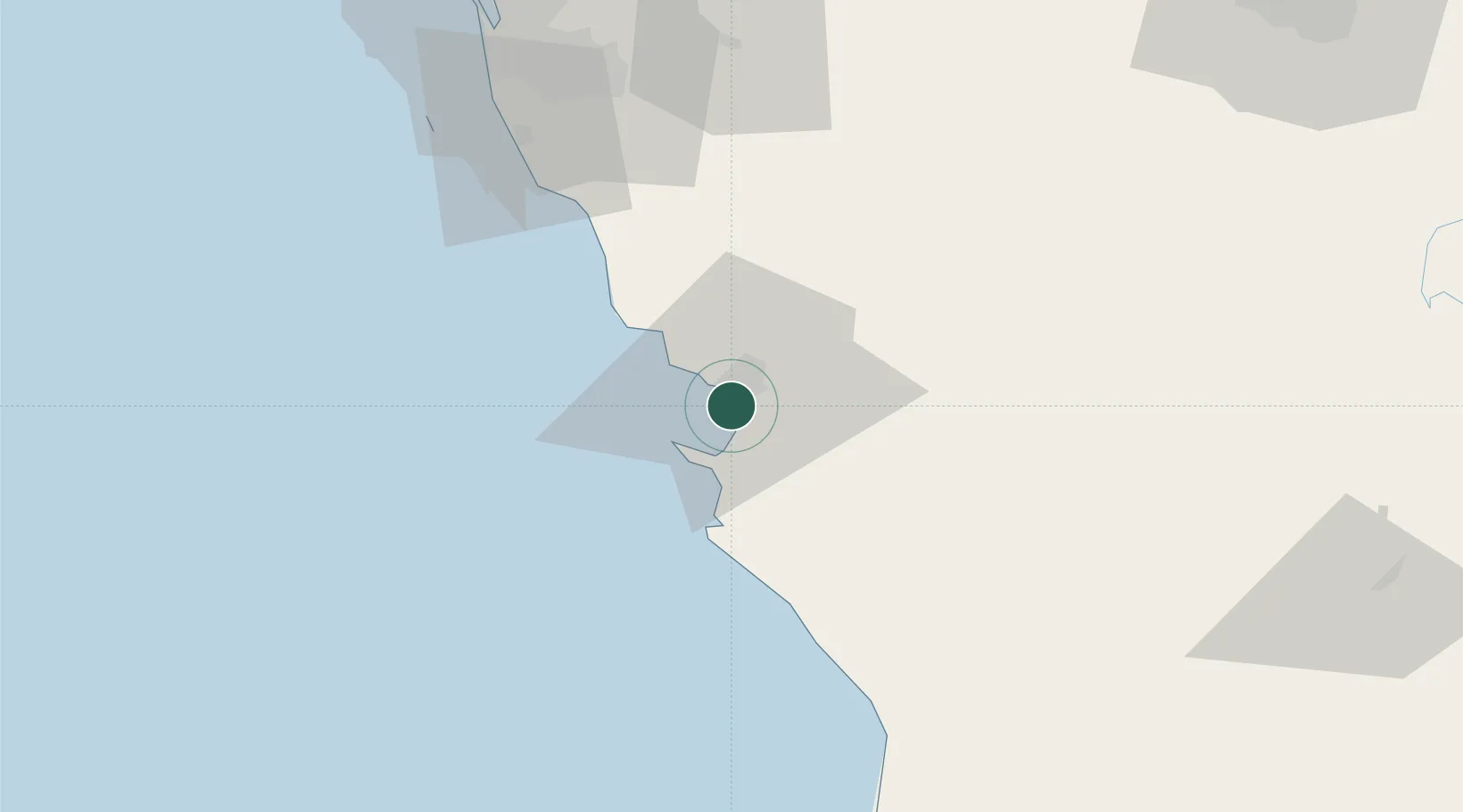
Ensenada
31.8257°, -116.6281°
443,807
Population
2
Transport functions
1
Container terminals
Transport Functions
Port
Airport
Hub Profile
Place type
Provincial seat
Region
Baja California
Population
443,807
Time zone
America/Tijuana
Elevation
29 m
Logistics facilities
6
Container terminals
1
Location
Nearby Logistics Neighbours
Cities
- 1Santo Tomas35 km
- 2Midland61 km
- 3Rosarito68 km
- 4Rosarito Terminal72 km
- 5Tijuana77 km
Ports
- 1Rosarito75 km
- 2San Diego112 km
- 3Avalon232 km
- 4Newport Beach232 km
- 5Long Beach260 km
Airports
Trade Zones
- 1FTZ No. 153 San Diego97 km
- 2FTZ No. 257 Imperial County146 km
- 3FTZ No. 219 Yuma213 km
- 4FTZ No. 236 Palm Springs223 km
- 5FTZ No. 244 Riverside County240 km
DatabookThe Record of Consolidated Knowledge
Mexico beyond logistics?