Medium airport · Mexico
Ensenada International Airport / El Ciprés Air BaseMMES
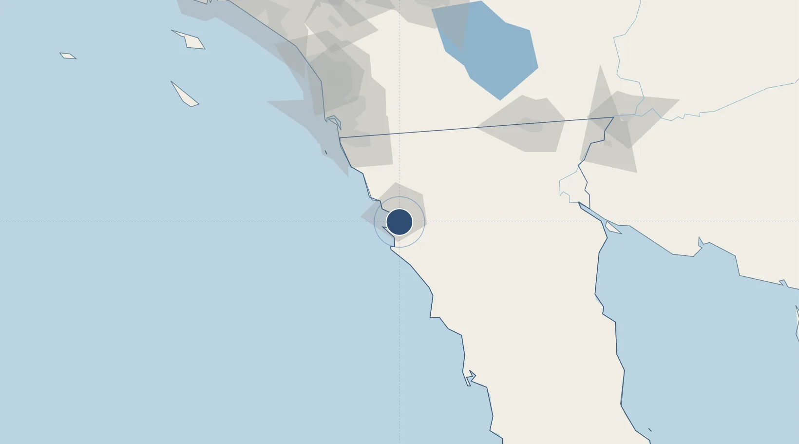
31.7945°, -116.6024°
4,892 ft
Longest runway
1
Runways
66 ft
Elevation
Runway & Layout

Radio Frequencies
TWR
119.75 MHz
Navaids
ENS NDB Ensenada 400 kHz
Runways · 1
| Runway | Dimensions | Surface | True heading | Lit |
|---|---|---|---|---|
| 11/29 | 4,892 × 115ft | Asphalt | 123° | ✓ |
Airport Specifications
IATA code
ESE
ICAO code
MMES
Airport class
Medium airport
Scheduled service
No
Runway surface
Asphalt
Served city
Ensenada
Location
Nearby Logistics Neighbours
Airports
Cities
- 1Ensenada4 km
- 2Santo Tomas32 km
- 3Midland59 km
- 4Rosarito72 km
- 5Rosarito Terminal76 km
Ports
- 1Ensenada9 km
- 2Rosarito79 km
- 3San Diego116 km
- 4Avalon236 km
- 5Newport Beach236 km
Trade Zones
- 1FTZ No. 153 San Diego101 km
- 2FTZ No. 257 Imperial County147 km
- 3FTZ No. 219 Yuma213 km
- 4FTZ No. 236 Palm Springs226 km
- 5FTZ No. 244 Riverside County244 km
DatabookThe Record of Consolidated Knowledge
Mexico beyond logistics?