Large airport · Mexico

General Abelardo L. Rodriguez International AirportMMTJ

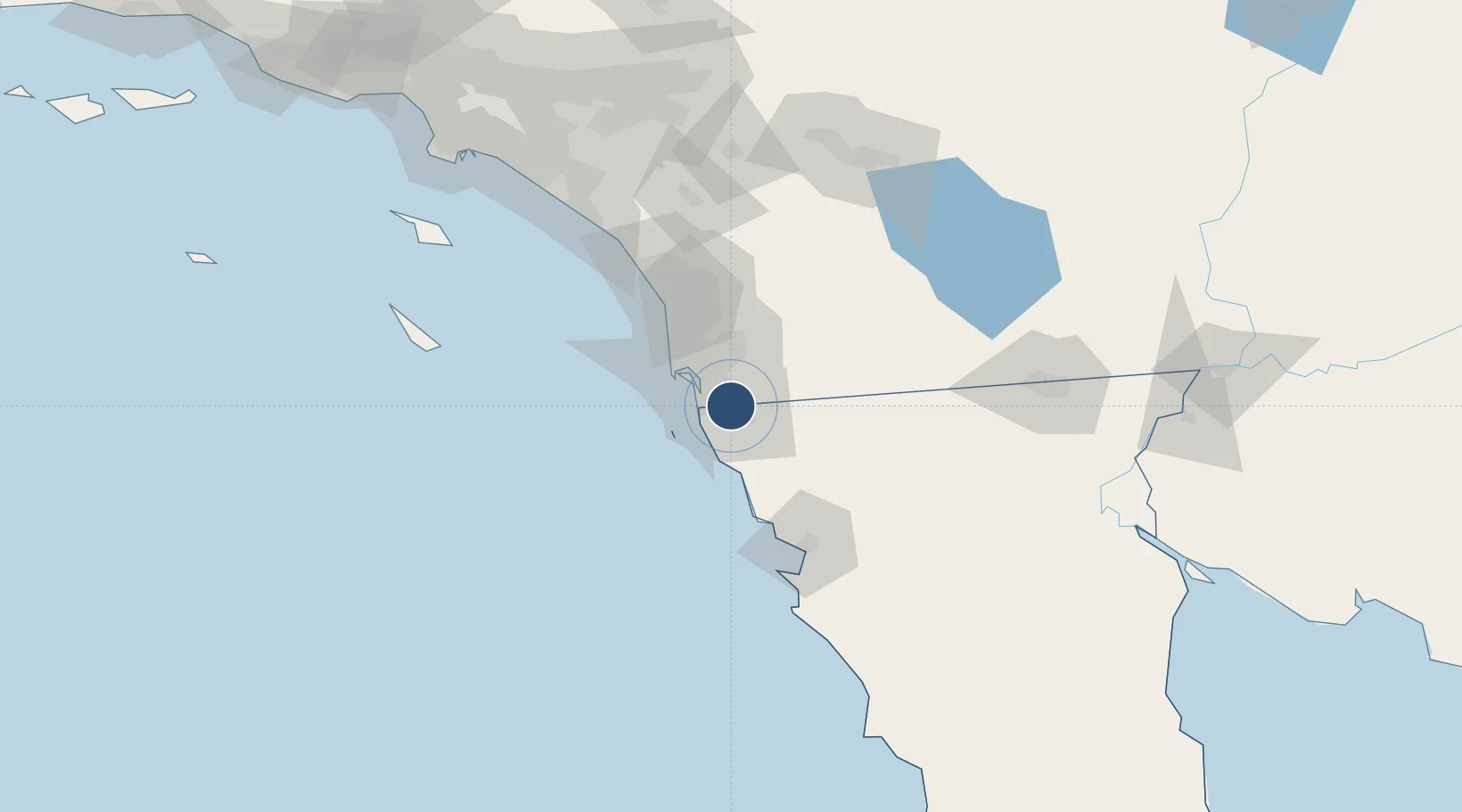
32.5410°, -116.9700°
9,711 ft
Longest runway
1
Runways
489 ft
Elevation

Runway & Layout

General Abelardo L. Rodriguez International Airport runway & taxiway layout
Runway & taxiway layout — OpenStreetMap (ODbL) / OurAirports

Radio Frequencies

ATIS
127.9 MHz
TWR
118.1 MHz
TIJUANA TWR
CLD
122.35 MHz
TIJUANA CLNC DEL
APP
119.5 MHz
TIJUANA APP
MISC
132.1 MHz
TIJUANA INFO
OurAirports

Navaids

TIJ VOR-DME Tijuana 116.50 MHz
OurAirports

Runways · 1

RunwayDimensions SurfaceTrue headingLit
09/27 9,711 × 144ft Concrete 099°
OurAirports

Airport Specifications

IATA code
TIJ
OurAirports
ICAO code
MMTJ
OurAirports
Airport class
Large airport
OurAirports
Scheduled service
Yes
OurAirports
Runway surface
Concrete
OurAirports
Served city
Tijuana
OurAirports

Location

Location of MMTJ
Natural Earth 10m (public domain) · Baja California · MMTJ · 32.54, -116.97GoogleOSMYandex

Nearby Logistics Neighbours

Airports
  1. 1Brown Field Municipal Airport4 km
  2. 2North Island Naval Air Station-Halsey Field29 km
  3. 3San Diego International Airport30 km
  4. 4Miramar Marine Corps Air Station - Mitscher Field40 km
  5. 5McClellan-Palomar Airport71 km
Nearest neighbours — logibook spatial index (haversine) over the source coordinates
Cities
  1. 1Tijuana10 km
  2. 2Bonita13 km
  3. 3San Diego20 km
  4. 4Spring Valley, San Diego21 km
  5. 5Dulzura22 km
Nearest neighbours — logibook spatial index (haversine) over the source coordinates
Ports
  1. 1Rosarito23 km
  2. 2San Diego28 km
  3. 3Ensenada81 km
  4. 4Newport Beach148 km
  5. 5Avalon155 km
Nearest neighbours — logibook spatial index (haversine) over the source coordinates
Trade Zones
  1. 1FTZ No. 153 San Diego12 km
  2. 2FTZ No. 257 Imperial County135 km
  3. 3FTZ No. 236 Palm Springs149 km
  4. 4FTZ No. 244 Riverside County155 km
  5. 5FTZ No. 050 Long Beach178 km
Nearest neighbours — logibook spatial index (haversine) over the source coordinates
DatabookThe Record of Consolidated Knowledge
Mexico beyond logistics?
Browse databook

All Sources

AirportsOurAirports
Public domain
Portsthe NGA World Port Index
Public domain (US gov)
LocationsUN/LOCODE
UN/LOCODE — free
Trade Zonesthe World Bank SEZ database
CC BY 4.0
Trade ZonesOpen Zone Map
CC BY
InfrastructureOpenStreetMap
ODbL 1.0
← Mexico airports