Medium airport · Indonesia
Dr. Ferdinand Lumban Tobing AirportWIMS
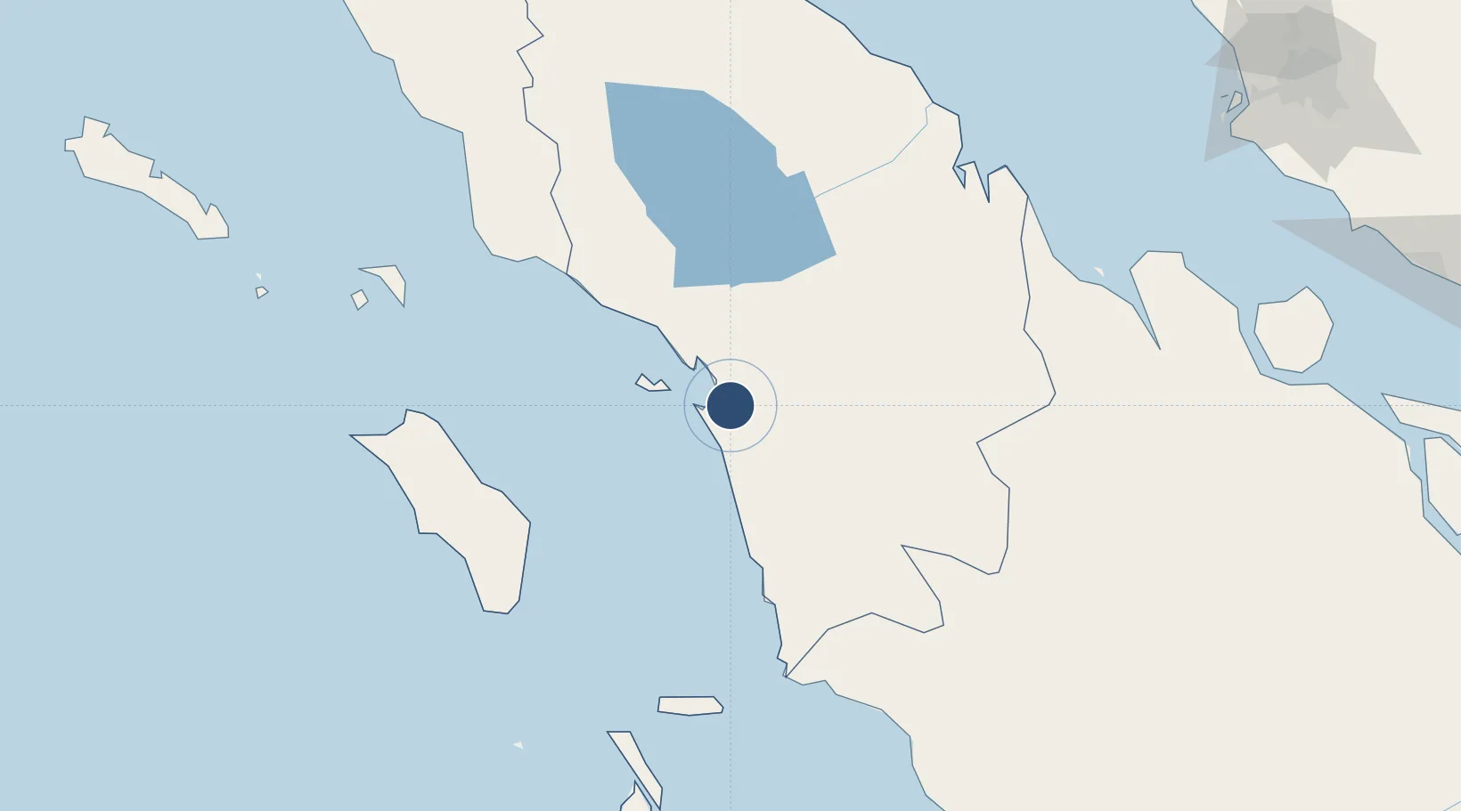
1.5571°, 98.8871°
5,655 ft
Longest runway
1
Runways
33 ft
Elevation
Runway & Layout

Radio Frequencies
A/G
122.3 MHz
PINANG SORE RDO
Navaids
SIX VOR-DME Pinang Sore 114.30 MHz
SK NDB Pinang Sore 215 kHz
Runways · 1
| Runway | Dimensions | Surface | True heading | Lit |
|---|---|---|---|---|
| 12/30 | 5,655 × 98ft | Asphalt | 124° | ✓ |
Airport Specifications
IATA code
FLZ
ICAO code
WIMS
Airport class
Medium airport
Scheduled service
Yes
Runway surface
Asphalt
Served city
Sibolga (Pinangsori)
Location
Nearby Logistics Neighbours
Airports
- 1Aek Godang Airport63 km
- 2Silangit Airport79 km
- 3Syekh Hamzah Fansyuri Airport129 km
- 4Binaka Airport139 km
- 5Lasondre Airport187 km
Cities
- 1Kualatanjung212 km
- 2Medan, Sumatra239 km
- 3Belawan, Sumatra248 km
- 4Bukittinggi266 km
- 5Pulau Jarak299 km
Ports
- 1Sibolga24 km
- 2Kuala Tanjung212 km
- 3Belawan249 km
- 4Dumai285 km
- 5Pangkalansusu294 km
Trade Zones
- 1Sei Mangkei Special Economic Zone182 km
- 2Medan Star Industrial Estate221 km
- 3Medan Industrial Estate236 km
- 4Dumai Industrial Park306 km
- 5Pulau Indah Free Industrial Zone307 km
DatabookThe Record of Consolidated Knowledge
Indonesia beyond logistics?