UN/LOCODE hub · Malaysia
MYKSL
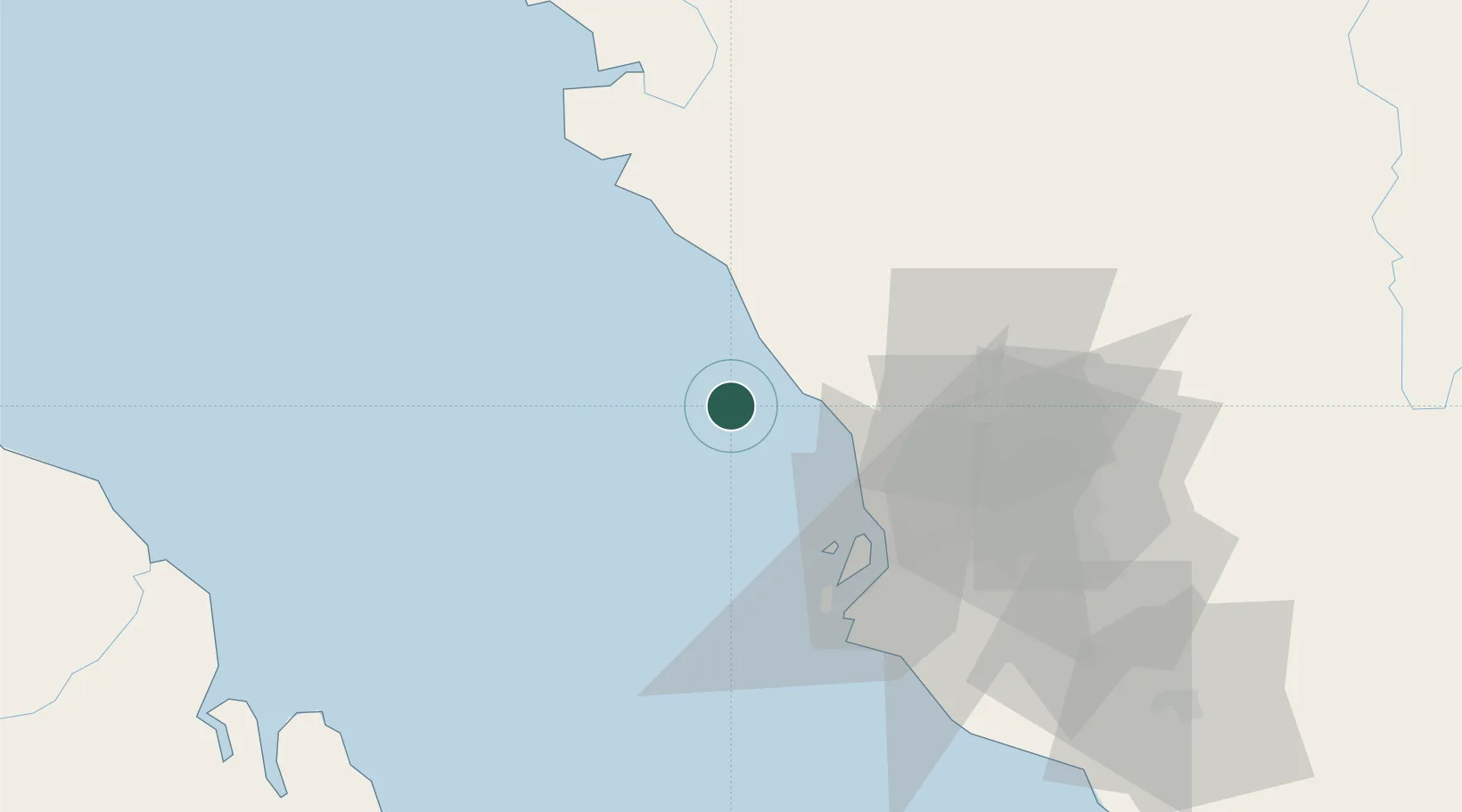
Kuala Selangor
3.3333°, 101.0500°
55,887
Population
2
Transport functions
Transport Functions
Port
Multimodal
Hub Profile
Place type
Populated place
Region
Selangor
Population
55,887
Time zone
Asia/Kuala_Lumpur
Elevation
2 m
Location
Nearby Logistics Neighbours
Cities
- 1Port Klang (Ferry Port)50 km
- 2Bukit Raja50 km
- 3Northport/Pt Klang51 km
- 4Pulau Indah52 km
- 5Port Klang (Pelabuhan Klang)52 km
Ports
- 1Port Klang54 km
- 2Teluk Anson76 km
- 3Lumut110 km
- 4Port Dickson121 km
- 5Pelabuhan Sungai Udang170 km
Airports
Trade Zones
DatabookThe Record of Consolidated Knowledge
Malaysia beyond logistics?