Seaport · Malaysia
Port KlangMYPKG
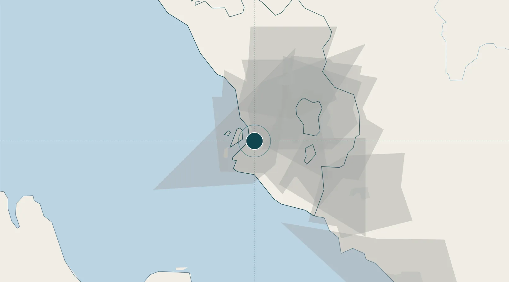
3.0000°, 101.4000°
15.5 m
Channel depth
2
Container terminals
1,104.1
Port liner connectivity
Channel & Berth Profile
Pilotage, Tugs & Services
Pilotage compulsoryYES
Pilotage availableYES
Pilotage advisableYES
Tug assistanceYES
Shore powerYES
Potable waterYES
MedicalYES
Garbage disposalYES
Facilities & Capabilities
Container—
Ro-Ro—
Liquid bulk—
Dry bulk—
Oil terminal—
Break bulk—
Dry dockNO
RepairsNO
BunkeringYES
Rail linkYES
Dangerous cargo—
ISPS security—
Harbour Specifications
Harbour size
Large
Harbour type
Coastal (Natural)
Shelter
Good
Water body
Strait of Malacca; Indian Ocean
Tidal range
3 m
Overhead limit
No
Pilotage
Yes
Liner Connectivity
1,104.1
PLSCI
Port Liner Shipping Connectivity Index for Port Klang, as published by UNCTAD for the latest available quarter. Higher values indicate stronger scheduled liner-shipping integration.
Shown relative to the highest per-port PLSCI in the dataset (1,657.9).
Location
Container Terminals · 2
WESTPORT KELANG MULTI TERMINAL (KMT)
KMT WESTPORTS MALAYSIA SDN. BHD.
NORTHPORT MALAYSIA
NPM NORTHPORT MALAYSIA BHD.
Nearby Logistics Neighbours
Ports
- 1Port Dickson67 km
- 2Pelabuhan Sungai Udang117 km
- 3Teluk Anson121 km
- 4Melaka130 km
- 5Dumai147 km
Cities
- 1Port Klang (Ferry Port)4 km
- 2Klang7 km
- 3Pulau Indah7 km
- 4Northport/Pt Klang8 km
- 5Carey Island Estate9 km
Airports
Trade Zones
DatabookThe Record of Consolidated Knowledge
Malaysia beyond logistics?