Free Zone · Malaysia

Port Klang Free Zone Active
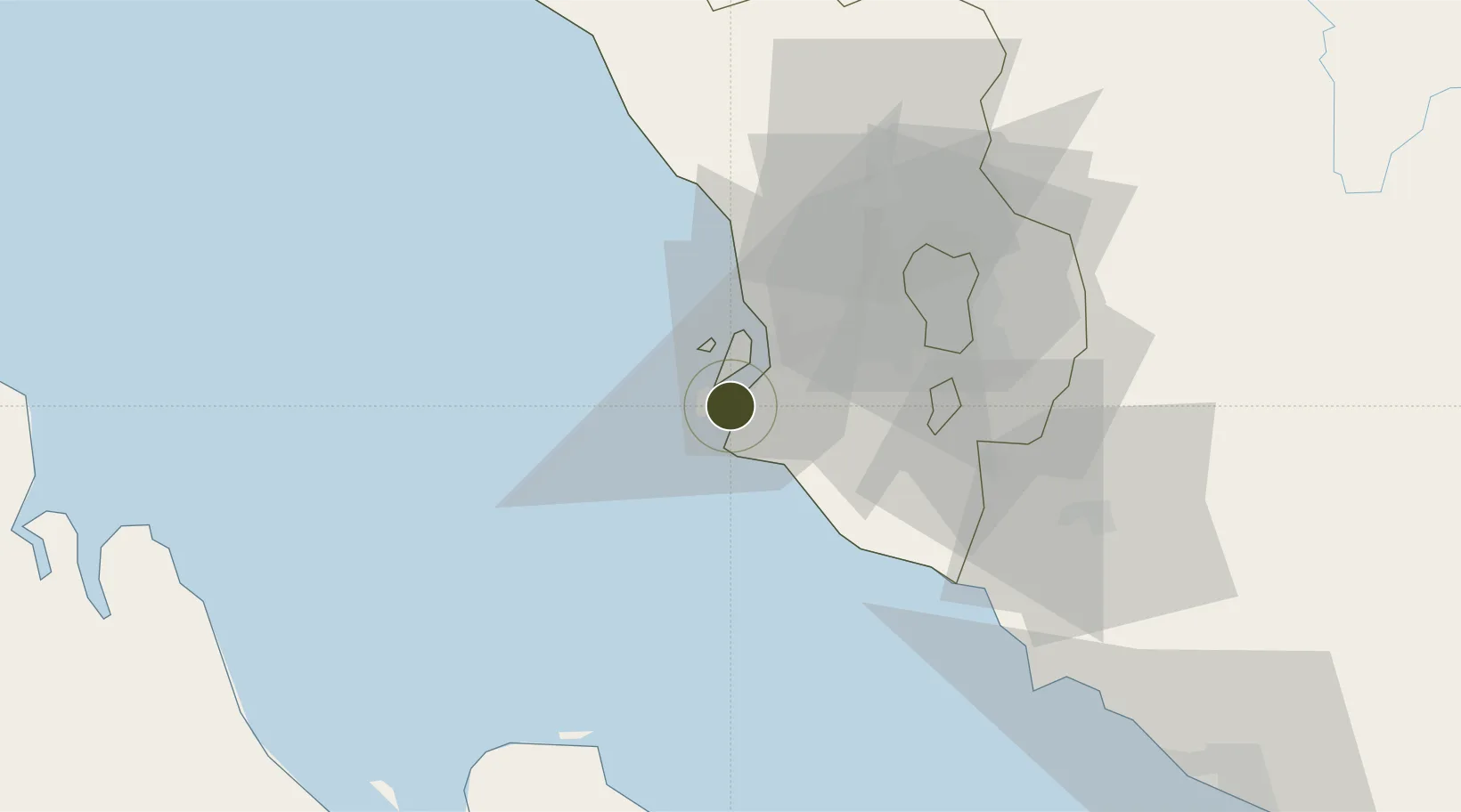
2.9285°, 101.2987°
404 ha
Zone area
13.8 km
Nearest port
35.7 km
Nearest airport

Gateway access

Nearest neighbours — logibook spatial index (haversine) over the source coordinates

Zone profile

Zone type
Free Zone
the World Bank SEZ database
Region
Selangor
the World Bank SEZ database
Status
Active
the World Bank SEZ database
Established
2005
the World Bank SEZ database
Management
State-owned enterprise
the World Bank SEZ database
Operator
Port Klang Free Zone Sdn Bhd
the World Bank SEZ database
Regulatory authority
Ministry of International Trade and Industry
the World Bank SEZ database
Legal framework
Free Zones Act
the World Bank SEZ database

Location

Location of MYS4
Natural Earth 10m (public domain) · Selangor · MYS4 · 2.93, 101.30GoogleOSMYandex

Fiscal & incentives

Corporate tax
24%
the World Bank SEZ database
Tax relief
No exemption
the World Bank SEZ database
Relief duration
No exemption
the World Bank SEZ database
VAT
No exemption
the World Bank SEZ database
Import duty (inputs)
100% exempt
the World Bank SEZ database
Import duty (capex)
100% exempt
the World Bank SEZ database
Profit repatriation
100% exempt from repatriation tax on earnings
the World Bank SEZ database
Capital gains
No exemption
the World Bank SEZ database
Withholding tax
No exemption
the World Bank SEZ database
Min. investment
None
the World Bank SEZ database
Min. export
80%
the World Bank SEZ database
Employment incentive
No exemption
the World Bank SEZ database
Developer incentive
No established framework
the World Bank SEZ database

Nearby Logistics Neighbours

Ports
  1. 1Port Klang14 km
  2. 2Port Dickson70 km
  3. 3Pelabuhan Sungai Udang120 km
  4. 4Teluk Anson125 km
  5. 5Melaka133 km
Nearest neighbours — logibook spatial index (haversine) over the source coordinates
Airports
  1. 1Sultan Abdul Aziz Shah International Airport36 km
  2. 2Kuala Lumpur International Airport50 km
  3. 3Malacca International Airport129 km
  4. 4Pinang Kampai Airport148 km
  5. 5Pulau Pangkor Airport168 km
Nearest neighbours — logibook spatial index (haversine) over the source coordinates
Cities
  1. 1Northport/Pt Klang6 km
  2. 2Pulau Indah7 km
  3. 3Carey Island Estate11 km
  4. 4Port Klang (Pelabuhan Klang)12 km
  5. 5Port Klang (Ferry Port)12 km
Nearest neighbours — logibook spatial index (haversine) over the source coordinates
Trade Zones
  1. 1Pulau Indah Free Industrial Zone2 km
  2. 2Pulau Indah Mils Logistics Hub2 km
  3. 3Westport Free Zone3 km
  4. 4Selangor Bio Bay (Sbb)6 km
  5. 5Selangor Halal Hub Pulau Indah (Shh)6 km
Nearest neighbours — logibook spatial index (haversine) over the source coordinates
DatabookThe Record of Consolidated Knowledge
Malaysia beyond logistics?
Browse databook

All Sources

Trade Zonesthe World Bank SEZ database
CC BY 4.0
Portsthe NGA World Port Index
Public domain (US gov)
AirportsOurAirports
Public domain
LocationsUN/LOCODE
UN/LOCODE — free
← Malaysia trade zones