Medium airport · Indonesia
Aek Godang AirportWIME
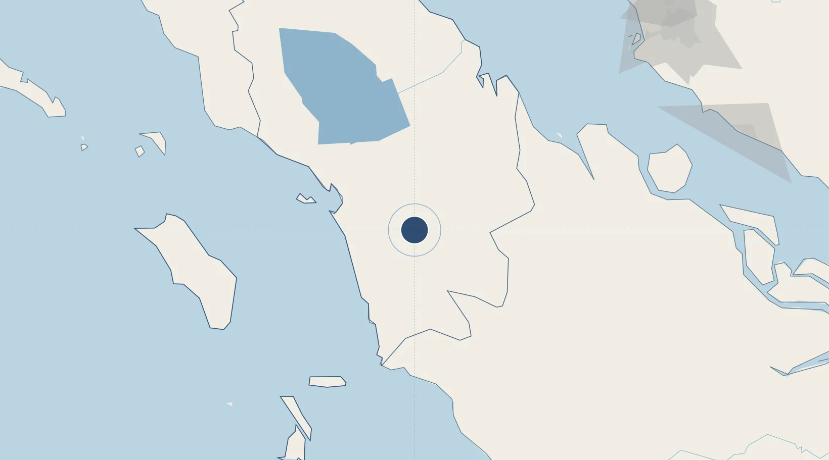
1.4001°, 99.4305°
4,580 ft
Longest runway
1
Runways
922 ft
Elevation
Runway & Layout

Radio Frequencies
A/G
122.8 MHz
INFO
Navaids
AG NDB Aek Godang 233 kHz
Runways · 1
| Runway | Dimensions | Surface | True heading | Lit |
|---|---|---|---|---|
| 11/29 | 4,580 × 75ft | Asphalt | 113° | — |
Airport Specifications
IATA code
AEG
ICAO code
WIME
Airport class
Medium airport
Scheduled service
No
Runway surface
Asphalt
Served city
Padang Sidempuan
Location
Nearby Logistics Neighbours
Airports
- 1Dr. Ferdinand Lumban Tobing Airport63 km
- 2Silangit Airport107 km
- 3Pusako Anak Nagariu Airport152 km
- 4Syekh Hamzah Fansyuri Airport189 km
- 5Binaka Airport194 km
Cities
- 1Bukittinggi217 km
- 2Kualatanjung219 km
- 3Perawang259 km
- 4Medan, Sumatra269 km
- 5Northport/Pt Klang274 km
Ports
- 1Sibolga83 km
- 2Kuala Tanjung219 km
- 3Dumai227 km
- 4Belawan278 km
- 5Port Klang282 km
Trade Zones
- 1Sei Mangkei Special Economic Zone193 km
- 2Dumai Industrial Park247 km
- 3Medan Star Industrial Estate248 km
- 4Medan Industrial Estate266 km
- 5Pulau Indah Free Industrial Zone267 km
DatabookThe Record of Consolidated Knowledge
Indonesia beyond logistics?