Medium airport · Indonesia
Binaka AirportWIMB
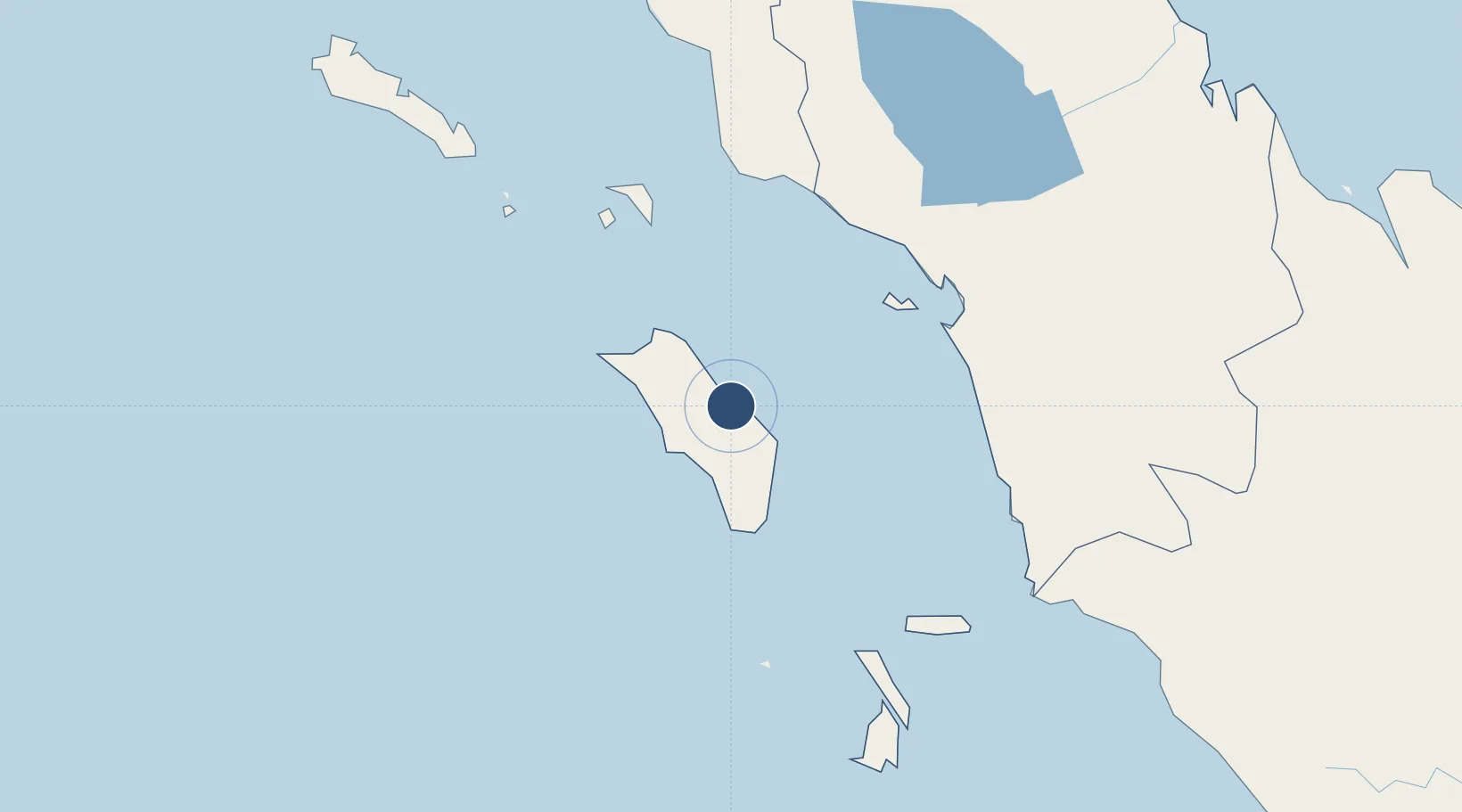
1.1663°, 97.7043°
4,445 ft
Longest runway
1
Runways
20 ft
Elevation
Runway & Layout

Radio Frequencies
A/G
122.5 MHz
INFO
Navaids
GI NDB Nias 244 kHz
NIS VOR-DME Nias 117.10 MHz
Runways · 1
| Runway | Dimensions | Surface | True heading | Lit |
|---|---|---|---|---|
| 09/27 | 4,445 × 98ft | Asphalt | 092° | — |
Airport Specifications
IATA code
GNS
ICAO code
WIMB
Airport class
Medium airport
Scheduled service
Yes
Runway surface
Asphalt
Served city
Gunungsitoli
Location
Nearby Logistics Neighbours
Airports
- 1Syekh Hamzah Fansyuri Airport126 km
- 2Dr. Ferdinand Lumban Tobing Airport139 km
- 3Lasondre Airport148 km
- 4Silangit Airport188 km
- 5Aek Godang Airport194 km
Cities
- 1Medan, Sumatra301 km
- 2Belawan, Sumatra311 km
- 3Kualatanjung313 km
- 4Bukittinggi339 km
- 5Muara Siberut348 km
Ports
- 1Sibolga134 km
- 2Belawan311 km
- 3Kuala Tanjung315 km
- 4Pangkalansusu333 km
- 5Teluk Bayur382 km
Trade Zones
- 1Sei Mangkei Special Economic Zone284 km
- 2Medan Star Industrial Estate291 km
- 3Medan Industrial Estate299 km
- 4Dumai Industrial Park441 km
- 5Pulau Indah Free Industrial Zone444 km
DatabookThe Record of Consolidated Knowledge
Indonesia beyond logistics?