UN/LOCODE hub · Indonesia
IDMSB

Muara Siberut

-1.5833°, 99.2000°
1
Transport functions

Transport Functions

Port
UN/LOCODE

Hub Profile

Place type
District seat
GeoNames
Region
West Sumatra
GeoNames
Time zone
Asia/Jakarta
GeoNames
Elevation
49 m
GeoNames

Location

Location of IDMSB
Natural Earth 10m (public domain) · West Sumatra · IDMSB · -1.58, 99.20GoogleOSMYandex

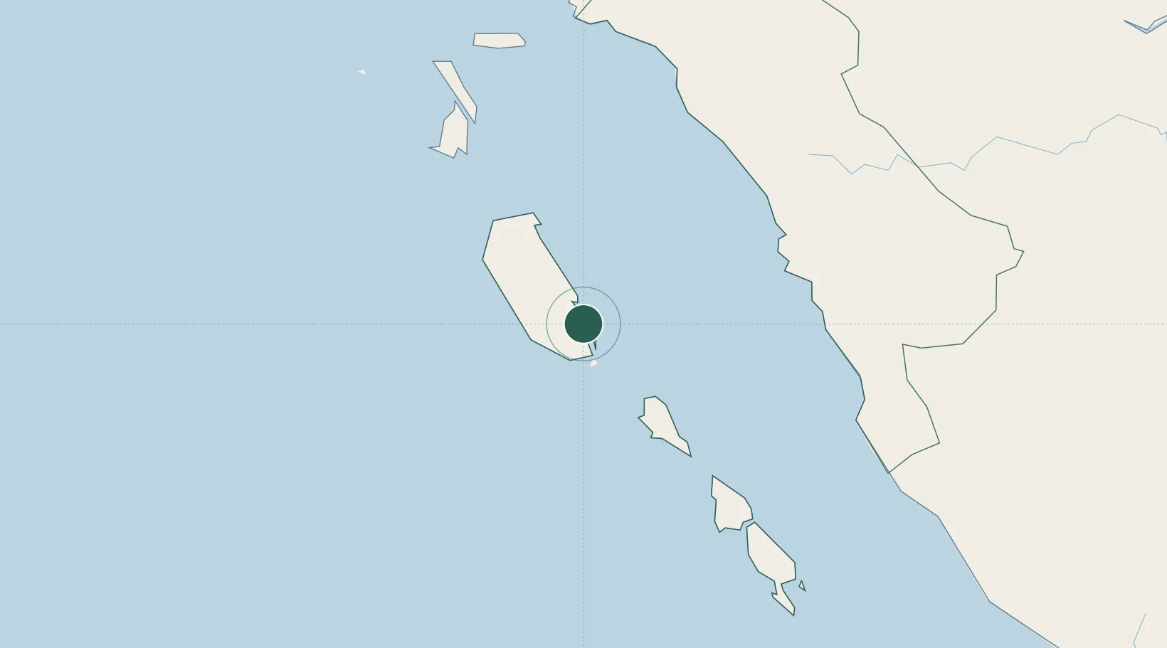
Nearby Logistics Neighbours

Cities
  1. 1Telukbayur146 km
  2. 2Padang148 km
  3. 3Bukittinggi192 km
  4. 4Sawahlunto203 km
  5. 5Muarabungo325 km
Nearest neighbours — logibook spatial index (haversine) over the source coordinates
Ports
  1. 1Teluk Bayur145 km
  2. 2Sibolga372 km
  3. 3Bengkulu418 km
  4. 4Dumai441 km
  5. 5Lalang Marine Terminal455 km
Nearest neighbours — logibook spatial index (haversine) over the source coordinates
Airports
  1. 1Mentawai Airport79 km
  2. 2Minangkabau International Airport149 km
  3. 3Tabing Airport150 km
  4. 4Pusako Anak Nagariu Airport196 km
  5. 5Lasondre Airport201 km
Nearest neighbours — logibook spatial index (haversine) over the source coordinates
Trade Zones
  1. 1Dumai Industrial Park451 km
  2. 2Sei Mangkei Special Economic Zone525 km
  3. 3Tanjung Kling Free Industrial Zone536 km
  4. 4Karimun Free Trade Zone537 km
  5. 5Batu Berendam Free Industrial Zone Phases I,Ii,Iii543 km
Nearest neighbours — logibook spatial index (haversine) over the source coordinates
DatabookThe Record of Consolidated Knowledge
Indonesia beyond logistics?
Browse databook

All Sources

LocationsUN/LOCODE
UN/LOCODE — free
Portsthe NGA World Port Index
Public domain (US gov)
AirportsOurAirports
Public domain
Trade Zonesthe World Bank SEZ database
CC BY 4.0
Trade ZonesOpen Zone Map
CC BY
← Indonesia locations