Small airport · Indonesia
Lasondre AirportID-0012
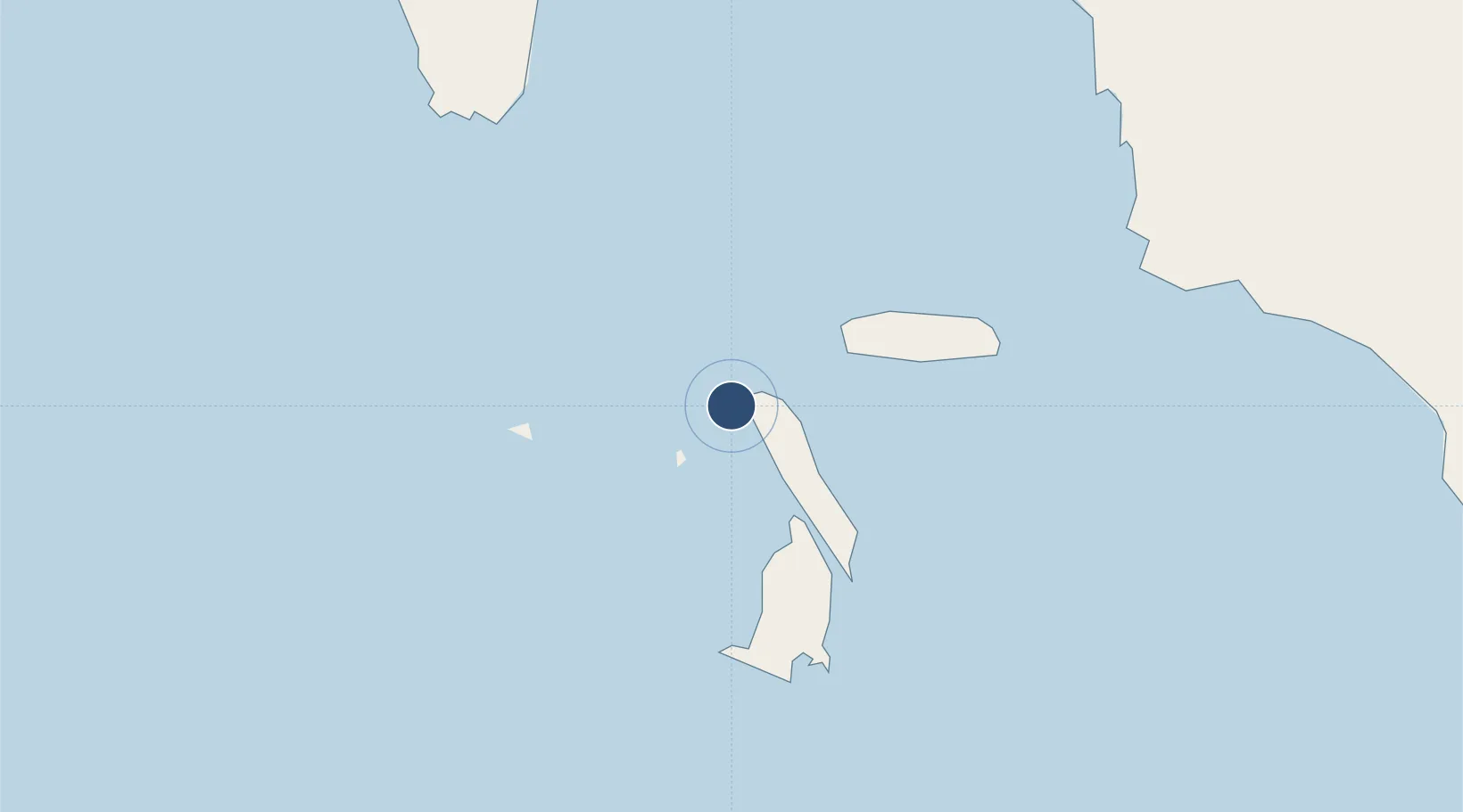
-0.0192°, 98.3010°
4,593 ft
Longest runway
1
Runways
30 ft
Elevation
Runway & Layout

Runways · 1
| Runway | Dimensions | Surface | True heading | Lit |
|---|---|---|---|---|
| 06/24 | 4,593 × 75ft | — | — | — |
Airport Specifications
ICAO code
WIMO
Airport class
Small airport
Scheduled service
Yes
Served city
Pulau-Pulau Batu
Location
Nearby Logistics Neighbours
Airports
- 1Binaka Airport148 km
- 2Pusako Anak Nagariu Airport165 km
- 3Dr. Ferdinand Lumban Tobing Airport187 km
- 4Aek Godang Airport202 km
- 5Minangkabau International Airport236 km
Cities
- 1Muara Siberut201 km
- 2Bukittinggi232 km
- 3Telukbayur255 km
- 4Padang255 km
- 5Sawahlunto285 km
Ports
- 1Sibolga202 km
- 2Teluk Bayur254 km
- 3Dumai398 km
- 4Kuala Tanjung399 km
- 5Belawan425 km
Trade Zones
- 1Sei Mangkei Special Economic Zone369 km
- 2Medan Star Industrial Estate400 km
- 3Medan Industrial Estate413 km
- 4Dumai Industrial Park415 km
- 5Pulau Indah Free Industrial Zone466 km
DatabookThe Record of Consolidated Knowledge
Indonesia beyond logistics?