Seaport · Indonesia
Teluk BayurIDTBR
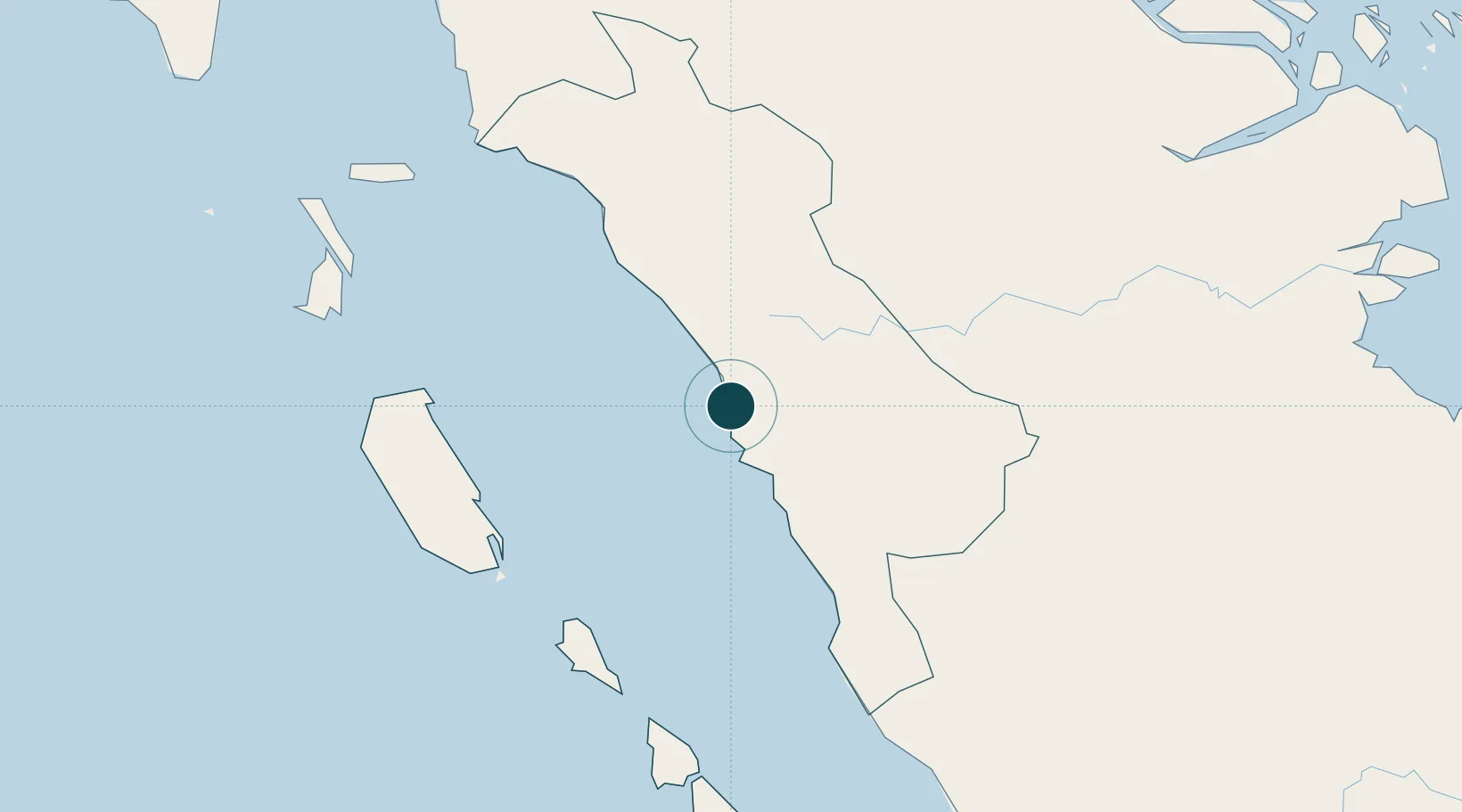
-1.0000°, 100.3667°
7.9 m
Channel depth
1
Container terminals
8.7
Port liner connectivity
Channel & Berth Profile
Pilotage, Tugs & Services
Pilotage compulsoryYES
Pilotage availableYES
Pilotage advisableYES
Local assistanceYES
Tug assistanceYES
Shore powerYES
Potable waterYES
Diesel bunkersYES
MedicalYES
Garbage disposalYES
Facilities & Capabilities
Container—
Ro-Ro—
Liquid bulk—
Dry bulk—
Oil terminal—
Break bulk—
Dry dockNO
RepairsNO
BunkeringYES
Rail linkYES
Dangerous cargo—
ISPS security—
Harbour Specifications
Harbour size
Very Small
Harbour type
Open Roadstead
Shelter
Fair
Water body
Indian Ocean
Tidal range
1 m
Overhead limit
Yes
Pilotage
Yes
Liner Connectivity
8.7
PLSCI
Port Liner Shipping Connectivity Index for Teluk Bayur, as published by UNCTAD for the latest available quarter. Higher values indicate stronger scheduled liner-shipping integration.
Shown relative to the highest per-port PLSCI in the dataset (1,657.9).
Location
Container Terminals · 1
IPC TERMINAL PETIKEMAS TELUK BAYUR
TPTB PT IPC TERMINAL PETIKEMAS
Nearby Logistics Neighbours
Ports
- 1Lalang Marine Terminal318 km
- 2Dumai322 km
- 3Sungaipakning329 km
- 4Bengkalis335 km
- 5Sibolga352 km
Cities
- 1Padang3 km
- 2Sawahlunto59 km
- 3Bukittinggi76 km
- 4Muara Siberut145 km
- 5Muarabungo201 km
Airports
- 1Tabing Airport14 km
- 2Minangkabau International Airport26 km
- 3Pusako Anak Nagariu Airport136 km
- 4Mentawai Airport143 km
- 5Departi Parbo Airport173 km
Trade Zones
DatabookThe Record of Consolidated Knowledge
Indonesia beyond logistics?