Specialized Zone · Indonesia

Dumai Industrial Park Active
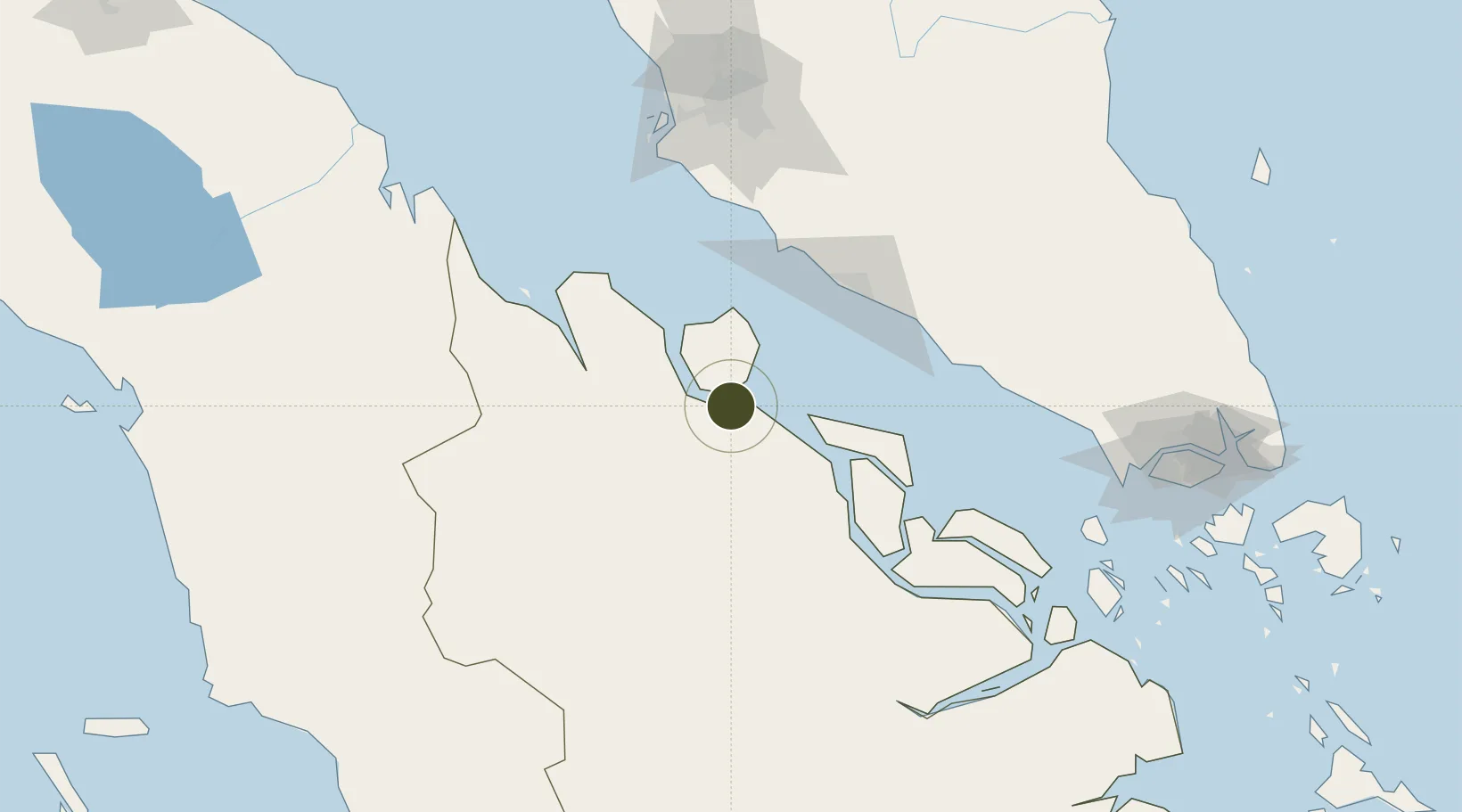
1.6561°, 101.6393°
425 ha
Zone area
21.3 km
Nearest port
23.5 km
Nearest airport

Gateway access

Nearest neighbours — logibook spatial index (haversine) over the source coordinates

Zone profile

Zone type
Specialized Zone
Open Zone Map
Specialization
Agriculture
Open Zone Map
Region
Riau
Open Zone Map
Status
Active
Open Zone Map
Management
Public-Private Partnership
Open Zone Map
Operator
PT Kawasan Industri Dumai (Wilmar Group)
Open Zone Map
Legal framework
Law Of The Republic Of Indonesia Number 3 Of 2014 On Industrial Affairs
Open Zone Map

Location

Location of ozm-2446
Natural Earth 10m (public domain) · Riau · ozm-2446 · 1.66, 101.64GoogleOSMYandex

Nearby Logistics Neighbours

Ports
  1. 1Dumai21 km
  2. 2Bengkalis55 km
  3. 3Sungaipakning68 km
  4. 4Lalang Marine Terminal83 km
  5. 5Pelabuhan Sungai Udang86 km
Nearest neighbours — logibook spatial index (haversine) over the source coordinates
Cities
  1. 1Sungai Udang82 km
  2. 2Sungai Udang Port86 km
  3. 3Alor Gajah101 km
  4. 4Perawang109 km
  5. 5Rembau115 km
Nearest neighbours — logibook spatial index (haversine) over the source coordinates
Trade Zones
  1. 1Tanjung Kling Free Industrial Zone85 km
  2. 2Batu Berendam Free Industrial Zone Phases I,Ii,Iii93 km
  3. 3Ayer Keroh Business Industrial Park98 km
  4. 4Pedas Halal Park (Miel)111 km
  5. 5Sendayan Tech Valley116 km
Nearest neighbours — logibook spatial index (haversine) over the source coordinates
DatabookThe Record of Consolidated Knowledge
Indonesia beyond logistics?
Browse databook

All Sources

Trade ZonesOpen Zone Map
CC BY
Portsthe NGA World Port Index
Public domain (US gov)
AirportsOurAirports
Public domain
LocationsUN/LOCODE
UN/LOCODE — free
← Indonesia trade zones