UN/LOCODE hub · Indonesia
IDBUK
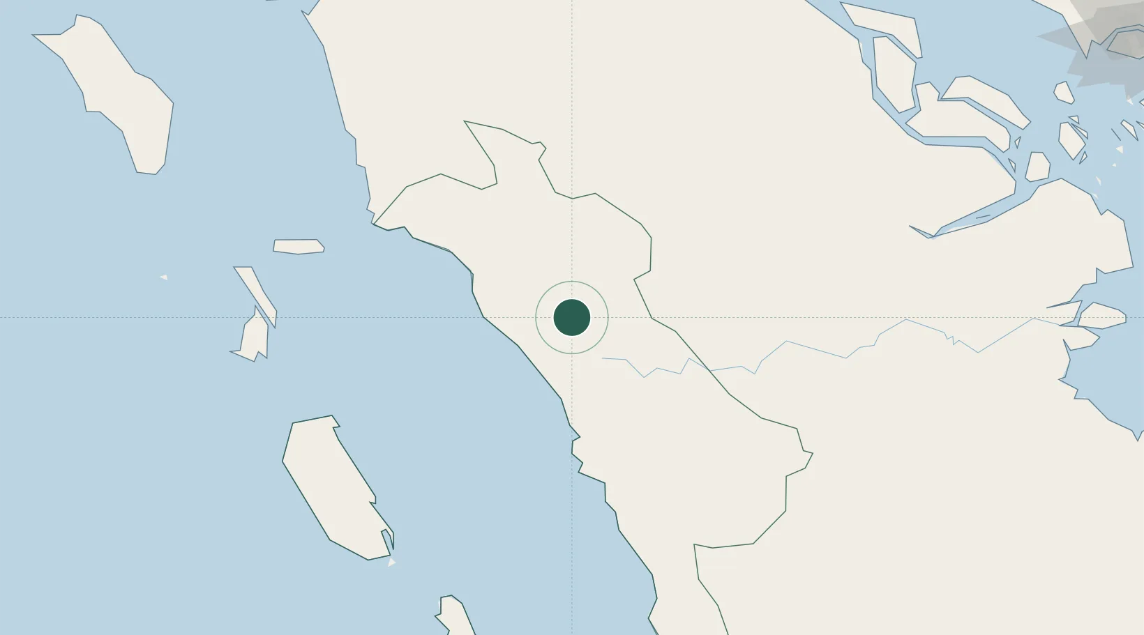
Bukittinggi
-0.3167°, 100.3667°
121,028
Population
2
Transport functions
Transport Functions
Road
Multimodal
Hub Profile
Place type
Provincial seat
Region
West Sumatra
Population
121,028
Time zone
Asia/Jakarta
Elevation
927 m
Location
Nearby Logistics Neighbours
Cities
- 1Sawahlunto61 km
- 2Padang74 km
- 3Telukbayur76 km
- 4Perawang180 km
- 5Muara Siberut192 km
Ports
- 1Teluk Bayur76 km
- 2Dumai253 km
- 3Lalang Marine Terminal265 km
- 4Sungaipakning273 km
- 5Bengkalis277 km
Airports
Trade Zones
DatabookThe Record of Consolidated Knowledge
Indonesia beyond logistics?