Medium airport · Indonesia

Syukuran Aminuddin Amir AirportWAFW
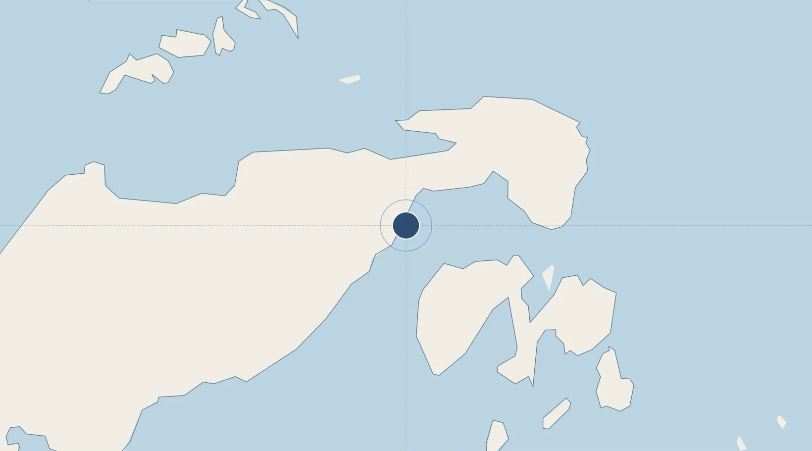
-1.0359°, 122.7739°
6,070 ft
Longest runway
1
Runways
56 ft
Elevation

Runway & Layout

Syukuran Aminuddin Amir Airport runway & taxiway layout
Runway & taxiway layout — OpenStreetMap (ODbL) / OurAirports

Radio Frequencies

A/G
122.8 MHz
INFO
OurAirports

Navaids

LK NDB Bubung 250 kHz
OurAirports

Runways · 1

RunwayDimensions SurfaceTrue headingLit
03/21 6,070 × 98ft Asphalt 035°
OurAirports

Airport Specifications

IATA code
LUW
OurAirports
ICAO code
WAFW
OurAirports
Airport class
Medium airport
OurAirports
Scheduled service
No
OurAirports
Runway surface
Asphalt
OurAirports
Served city
Luwok
OurAirports

Location

Location of WAFW
Natural Earth 10m (public domain) · Sulawesi Tengah · WAFW · -1.04, 122.77GoogleOSMYandex

Nearby Logistics Neighbours

Airports
  1. 1Tanjung Api Airport129 km
  2. 2Maleo Airport179 km
  3. 3Jalaluddin Airport186 km
  4. 4Kasiguncu Airport239 km
  5. 5Bolaang Mongondow Airport256 km
Nearest neighbours — logibook spatial index (haversine) over the source coordinates
Cities
  1. 1Luwuk10 km
  2. 2Pagimana32 km
  3. 3Donggi80 km
  4. 4Ampana134 km
  5. 5Morowali169 km
Nearest neighbours — logibook spatial index (haversine) over the source coordinates
Ports
  1. 1Luwuk10 km
  2. 2Gorontalo174 km
  3. 3Kolonodale192 km
  4. 4Poso228 km
  5. 5Kendari327 km
Nearest neighbours — logibook spatial index (haversine) over the source coordinates
Trade Zones
  1. 1Morowali Industrial Park210 km
  2. 2Palu Special Economic Zone325 km
  3. 3Bitung Special Economic Zone373 km
  4. 4KEK Likupang402 km
  5. 5Maloy Batuta Trans Kalimantan Special Economic Zone577 km
Nearest neighbours — logibook spatial index (haversine) over the source coordinates
DatabookThe Record of Consolidated Knowledge
Indonesia beyond logistics?
Browse databook

All Sources

AirportsOurAirports
Public domain
Portsthe NGA World Port Index
Public domain (US gov)
LocationsUN/LOCODE
UN/LOCODE — free
Trade Zonesthe World Bank SEZ database
CC BY 4.0
Trade ZonesOpen Zone Map
CC BY
InfrastructureOpenStreetMap
ODbL 1.0
← Indonesia airports