Seaport · Indonesia

BenoaIDBOA

-8.7500°, 115.2167°
7.9 m
Channel depth
8.5
Port liner connectivity
Benoa is also a UN/LOCODE logistics hub →

Channel & Berth Profile

SEA LEVEL (CD)CHANNEL BEDOil terminal · 4.9 mChannel · 7.9 mCargo pier · 7.9 mAnchorage · 21.6 m
NGA World Port Index

Pilotage, Tugs & Services

Pilotage compulsoryYES
Pilotage availableYES
Tug assistanceYES
Potable waterYES
Diesel bunkersNO
MedicalYES
Garbage disposalNO
NGA World Port Index

Facilities & Capabilities

Container
Ro-Ro
Liquid bulk
Dry bulk
Oil terminal
Break bulk
Dry dock
Repairs
BunkeringYES
Rail link
Dangerous cargo
ISPS security
NGA World Port Index

Harbour Specifications

Harbour size
Very Small
NGA World Port Index
Harbour type
Coastal (Natural)
NGA World Port Index
Shelter
Fair
NGA World Port Index
Water body
Indian Ocean
NGA World Port Index
Tidal range
2 m
NGA World Port Index
Pilotage
Yes
NGA World Port Index

Liner Connectivity

8.5
PLSCI

Port Liner Shipping Connectivity Index for Benoa, as published by UNCTAD for the latest available quarter. Higher values indicate stronger scheduled liner-shipping integration.

Shown relative to the highest per-port PLSCI in the dataset (1,657.9).
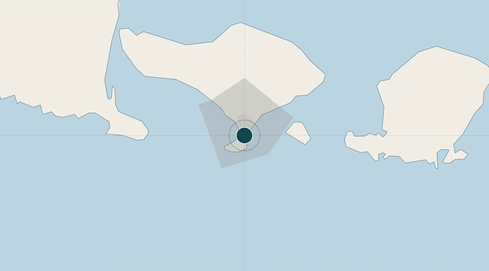
UNCTAD · Port Liner Shipping Connectivity Index

Location

Location of IDBOA
Natural Earth 10m (public domain) · Bali · IDBOA · -8.75, 115.22GoogleOSMYandex

Nearby Logistics Neighbours

Ports
  1. 1Celukan Bawang76 km
  2. 2Ampenan96 km
  3. 3Tanjung Benete169 km
  4. 4Panarukan183 km
  5. 5Probolinggo248 km
Nearest neighbours — logibook spatial index (haversine) over the source coordinates
Cities
  1. 1Kuta5 km
  2. 2Gatot Subroto Permai13 km
  3. 3Gianyar27 km
  4. 4Manggis44 km
  5. 5Jembrana76 km
Nearest neighbours — logibook spatial index (haversine) over the source coordinates
Airports
  1. 1Denpasar I Gusti Ngurah Rai International Airport5 km
  2. 2Discovery Kartika Plaza Heliport6 km
  3. 3Lieutenant Colonel Wisnu Airfield95 km
  4. 4Banyuwangi Airport108 km
  5. 5Lombok International Airport117 km
Nearest neighbours — logibook spatial index (haversine) over the source coordinates
Trade Zones
  1. 1KEK Mandalika120 km
  2. 2Pasuruan Industrial Estate Rembang292 km
  3. 3KEK Singhasari300 km
  4. 4Safe N Lock Industrial Estate307 km
  5. 5Surabaya Industrial Estate - Rungkut313 km
Nearest neighbours — logibook spatial index (haversine) over the source coordinates
DatabookThe Record of Consolidated Knowledge
Indonesia beyond logistics?
Browse databook

All Sources

Portsthe NGA World Port Index
Public domain (US gov)
Logistics performanceUNCTAD
CC BY 3.0 IGO
AirportsOurAirports
Public domain
LocationsUN/LOCODE
UN/LOCODE — free
Trade Zonesthe World Bank SEZ database
CC BY 4.0
Trade ZonesOpen Zone Map
CC BY
← Indonesia ports