Medium airport · India
Gaya AirportVEGY
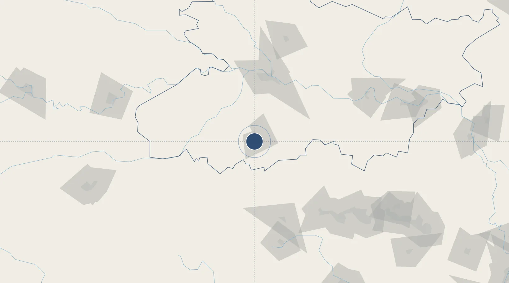
24.7443°, 84.9512°
7,500 ft
Longest runway
1
Runways
380 ft
Elevation
Runway & Layout

Radio Frequencies
TWR
123.5 MHz
Navaids
GGC VOR-DME Gaya 115.00 MHz
Runways · 1
| Runway | Dimensions | Surface | True heading | Lit |
|---|---|---|---|---|
| 10/28 | 7,500 × 148ft | Asphalt | 104° | ✓ |
Airport Specifications
IATA code
GAY
ICAO code
VEGY
Airport class
Medium airport
Scheduled service
Yes
Runway surface
Asphalt
Served city
Gaya
Location
Nearby Logistics Neighbours
Airports
- 1Jay Prakash Narayan Airport95 km
- 2Muzaffarpur Airport157 km
- 3Birsa Munda Airport163 km
- 4Deoghar Airport180 km
- 5Dhanbad Airport181 km
Cities
- 1Jehanabad51 km
- 2Kodarma (Koderma)73 km
- 3Jahanabad121 km
- 4Ranchi160 km
- 5Namkum161 km
Ports
- 1Calcutta422 km
- 2Haldia Port441 km
- 3Dhamra483 km
- 4Paradip529 km
- 5Mongla537 km
Trade Zones
DatabookThe Record of Consolidated Knowledge
India beyond logistics?