Diversified Zone · Nepal

Simara Special Economic Zone Under Development
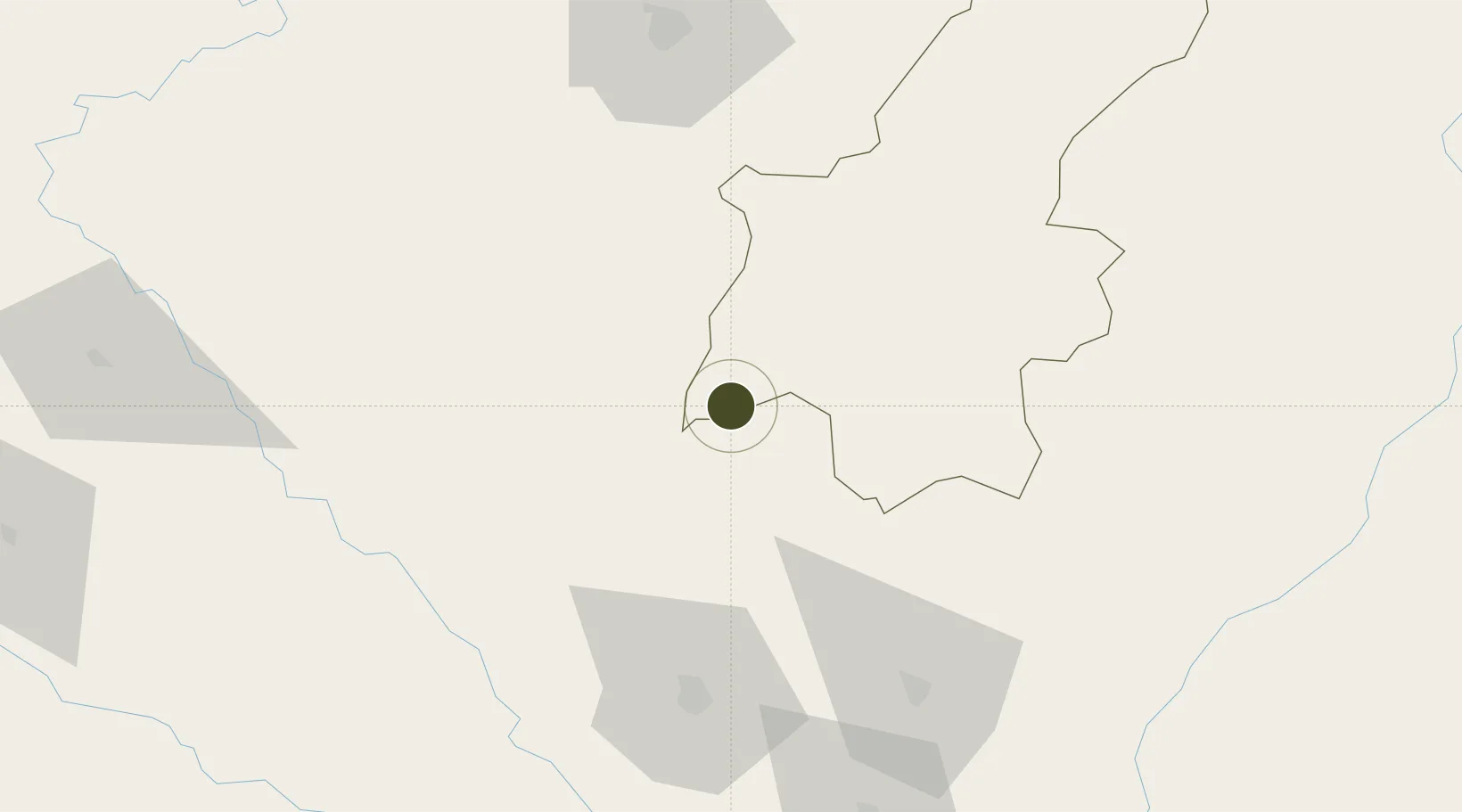
26.8189°, 85.4690°
564 ha
Zone area
555.9 km
Nearest port
46.6 km
Nearest airport

Gateway access

Nearest neighbours — logibook spatial index (haversine) over the source coordinates

Zone profile

Zone type
Diversified Zone
Open Zone Map
Region
Janakpur
Open Zone Map
Status
Under Development
Open Zone Map
Management
Public
Open Zone Map
Operator
Special Economic Zone Authority, Nepal
Open Zone Map
Legal framework
Special Economic Zone Act, 2073 (2016).
Open Zone Map

Location

Location of ozm-2899
Natural Earth 10m (public domain) · Janakpur · ozm-2899 · 26.82, 85.47GoogleOSMYandex

Nearby Logistics Neighbours

Ports
  1. 1Calcutta556 km
  2. 2Haldia Port596 km
  3. 3Mongla639 km
  4. 4Dhamra685 km
  5. 5Paradip739 km
Nearest neighbours — logibook spatial index (haversine) over the source coordinates
Airports
  1. 1Janakpur Airport47 km
  2. 2Simara Airport62 km
  3. 3Muzaffarpur Airport79 km
  4. 4Darbhanga Airport83 km
  5. 5Tribhuvan International Airport98 km
Nearest neighbours — logibook spatial index (haversine) over the source coordinates
Cities
  1. 1Birgunj ICD64 km
  2. 2Pipraun Lcs82 km
  3. 3Laukaha Lcs102 km
  4. 4Sikta Lcs138 km
  5. 5Pratapganj160 km
Nearest neighbours — logibook spatial index (haversine) over the source coordinates
Trade Zones
  1. 1Rautahat Special Economic Zone18 km
  2. 2Dhangadi Special Economic Zone30 km
  3. 3Dhanusha Special Economic Zone48 km
  4. 4Panchkhal Special Economic Zone94 km
  5. 5Nuwakot Special Economic Zone122 km
Nearest neighbours — logibook spatial index (haversine) over the source coordinates
DatabookThe Record of Consolidated Knowledge
Nepal beyond logistics?
Browse databook

All Sources

Trade ZonesOpen Zone Map
CC BY
Portsthe NGA World Port Index
Public domain (US gov)
AirportsOurAirports
Public domain
LocationsUN/LOCODE
UN/LOCODE — free
← Nepal trade zones