Medium airport · India
Jay Prakash Narayan AirportVEPT
25.5913°, 85.0880°
6,410 ft
Longest runway
1
Runways
170 ft
Elevation
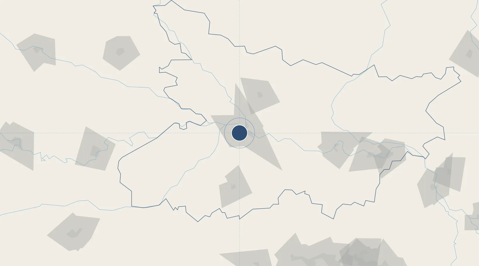
Runway & Layout

Radio Frequencies
TWR
118.3 MHz
Navaids
PPT VOR-DME Patna 112.10 MHz
Runways · 1
| Runway | Dimensions | Surface | True heading | Lit |
|---|---|---|---|---|
| 07/25 | 6,410 × 148ft | Asphalt | 068° | ✓ |
Airport Specifications
IATA code
PAT
ICAO code
VEPT
Airport class
Medium airport
Scheduled service
Yes
Runway surface
Asphalt
Served city
Patna
Location
Nearby Logistics Neighbours
Airports
- 1Muzaffarpur Airport63 km
- 2Gaya Airport95 km
- 3Darbhanga Airport107 km
- 4Janakpur Airport150 km
- 5Simara Airport175 km
Cities
- 1Jehanabad45 km
- 2Pipraun Lcs129 km
- 3Kodarma (Koderma)135 km
- 4Munger140 km
- 5Jahanabad143 km
Ports
- 1Calcutta472 km
- 2Haldia Port501 km
- 3Dhamra565 km
- 4Mongla575 km
- 5Paradip614 km
Trade Zones
DatabookThe Record of Consolidated Knowledge
India beyond logistics?