Transport Functions
Multimodal
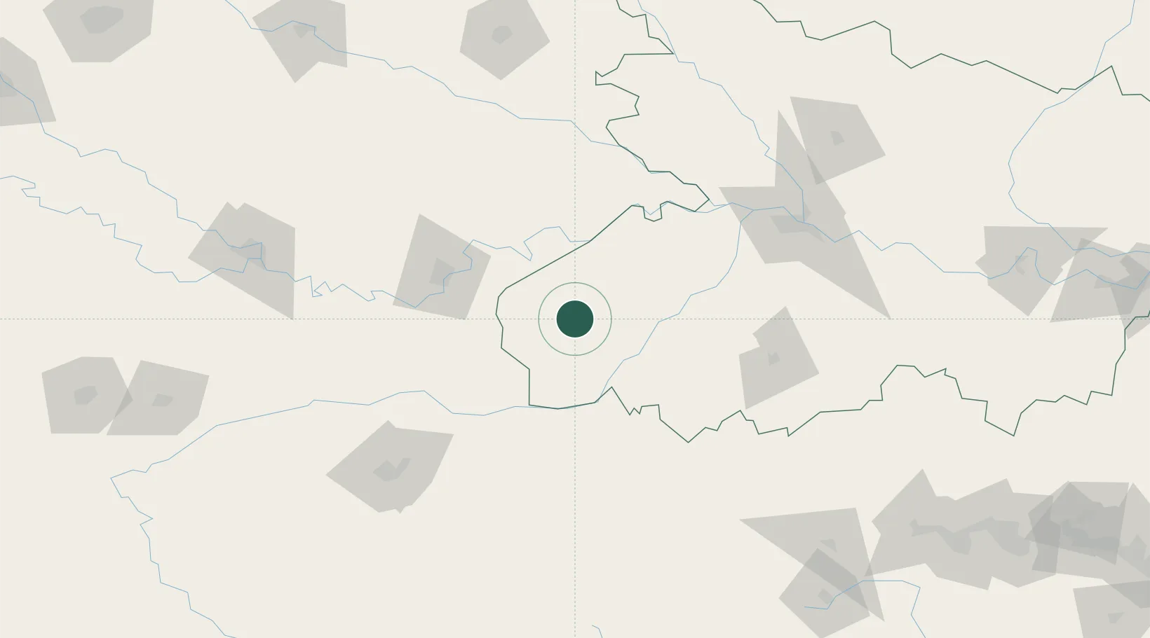
Hub Profile
Place type
Populated place
Region
Bihar
Population
103,202
Time zone
Asia/Kolkata
Elevation
71 m
Location
Nearby Logistics Neighbours
Ports
- 1Calcutta538 km
- 2Haldia Port552 km
- 3Dhamra572 km
- 4Paradip609 km
- 5Gopalpur650 km
Airports
- 1Lal Bahadur Shastri International Airport104 km
- 2Gaya Airport121 km
- 3Jay Prakash Narayan Airport143 km
- 4Gorakhpur Airport191 km
- 5Kushinagar International Airport192 km
Trade Zones
DatabookThe Record of Consolidated Knowledge
India beyond logistics?