Seaport · Bangladesh
MonglaBDMGL
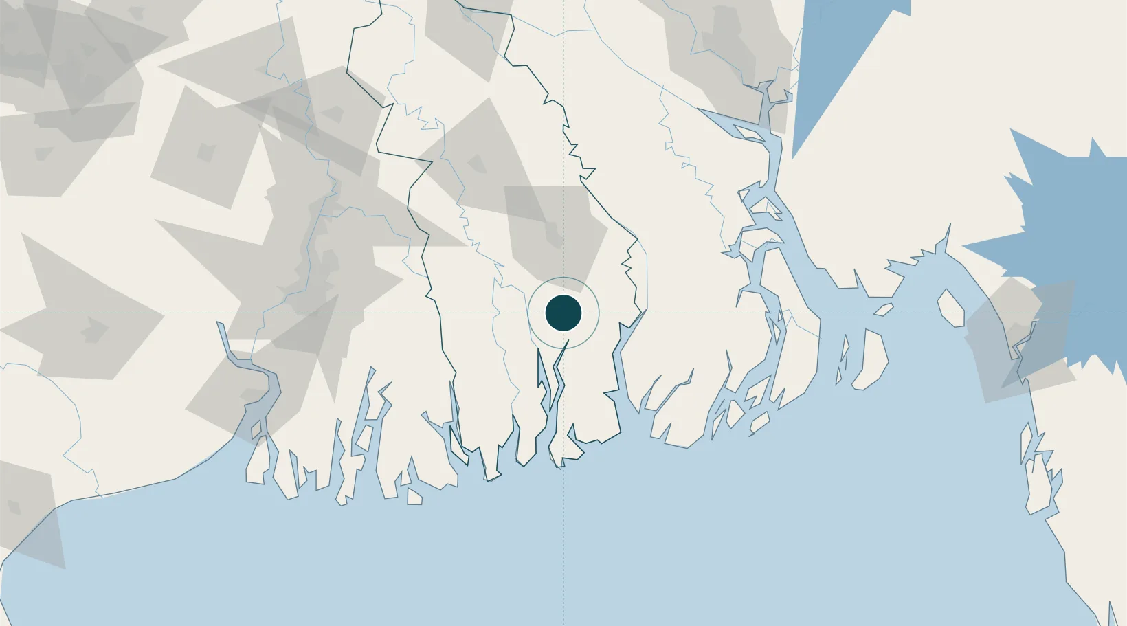
22.4667°, 89.6000°
4.9 m
Channel depth
1
Container terminals
26.4
Port liner connectivity
Channel & Berth Profile
Pilotage, Tugs & Services
Pilotage compulsoryYES
Pilotage availableYES
Pilotage advisableYES
Tug assistanceYES
Potable waterYES
Diesel bunkersNO
MedicalYES
Garbage disposalYES
Facilities & Capabilities
Container—
Ro-Ro—
Liquid bulk—
Dry bulk—
Oil terminal—
Break bulk—
Dry dock—
RepairsNO
BunkeringYES
Rail linkYES
Dangerous cargo—
ISPS security—
Harbour Specifications
Harbour size
Small
Harbour type
River (Natural)
Shelter
Fair
Water body
Bay of Bengal; Indian Ocean
Tidal range
3 m
Overhead limit
No
Pilotage
Yes
Liner Connectivity
26.4
PLSCI
Port Liner Shipping Connectivity Index for Mongla, as published by UNCTAD for the latest available quarter. Higher values indicate stronger scheduled liner-shipping integration.
Shown relative to the highest per-port PLSCI in the dataset (1,657.9).
Location
Container Terminals · 1
MONGLA TERMINAL
MPA MONGLA PORT AUTHORITY
Nearby Logistics Neighbours
Ports
- 1Calcutta130 km
- 2Haldia Port164 km
- 3Chittagong229 km
- 4Dhamra328 km
- 5Paradip389 km
Cities
- 1Hemnagar Lcs65 km
- 2Payra Port91 km
- 3Benapole97 km
- 4Kolkata IT Park/Bantala127 km
- 5Wipro SEZ/Kolkata127 km
Airports
- 1Barisal Airport81 km
- 2Jessore Airport92 km
- 3Netaji Subhash Chandra Bose International Airport120 km
- 4Hazrat Shahjalal International Airport174 km
- 5Ishurdi Airport196 km
Trade Zones
DatabookThe Record of Consolidated Knowledge
Bangladesh beyond logistics?