Specialized Zone · India
Adityapur Industrial area development authority Active
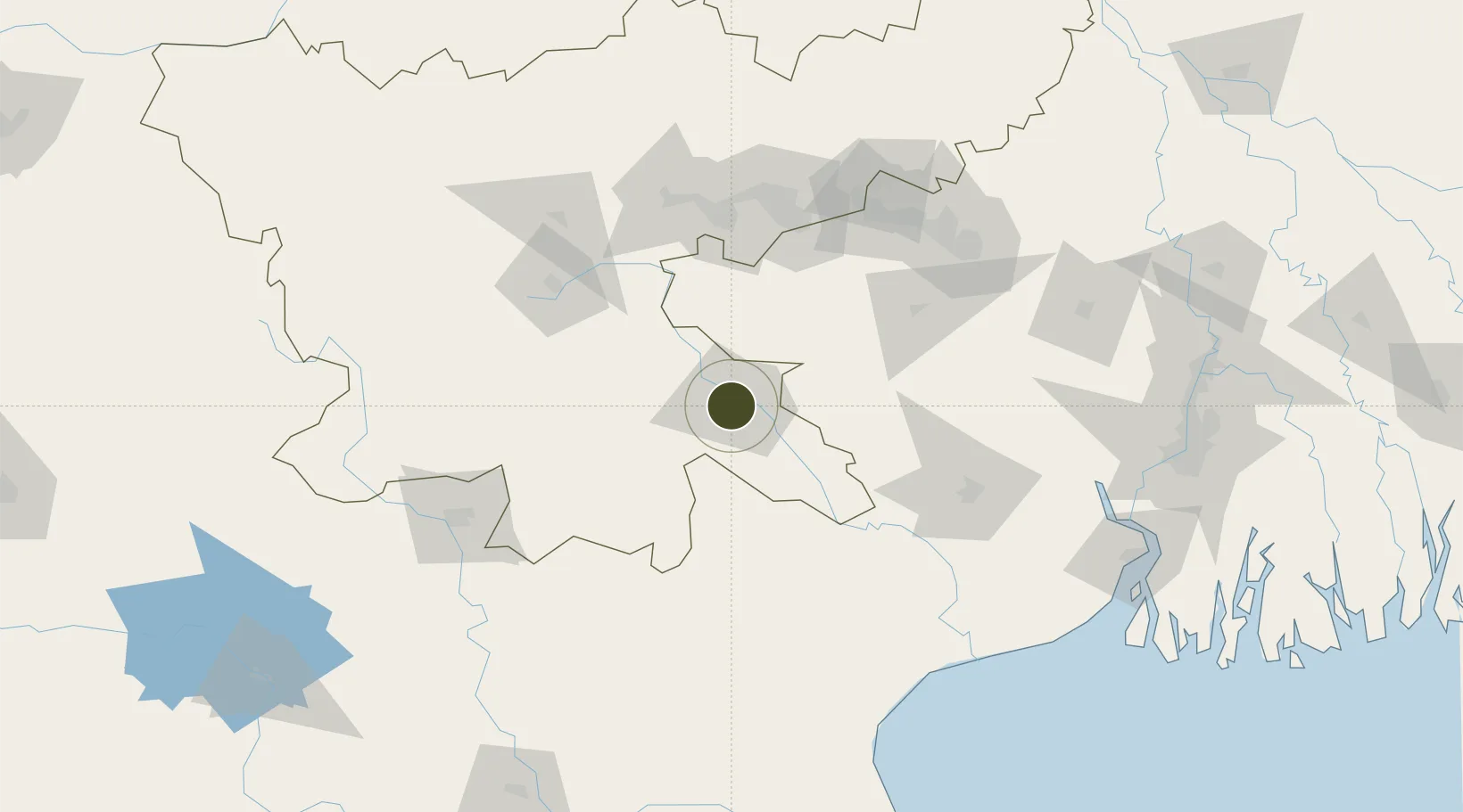
22.7859°, 86.1655°
16 ha
Zone area
214.9 km
Nearest port
3.1 km
Nearest airport
Gateway access
Zone profile
Zone type
Specialized Zone
Specialization
Manufacturing
Region
Jharkhand
Status
Active
Management
Public
Operator
Government of India
Legal framework
Jharkhand State Industrial Policy, 2001
Location
Nearby Logistics Neighbours
Ports
- 1Haldia Port215 km
- 2Calcutta224 km
- 3Dhamra234 km
- 4Paradip285 km
- 5Mongla354 km
Airports
- 1Sonari Airport3 km
- 2Birsa Munda Airport104 km
- 3Dhanbad Airport120 km
- 4Kazi Nazrul Islam Airport144 km
- 5Panagarh Air Force Station150 km
Cities
- 1Jamshedpur2 km
- 2Namkum103 km
- 3Bankura106 km
- 4Ranchi106 km
- 5Barbil111 km
Trade Zones
- 1Falta Special Economic Zone207 km
- 2M.L. Dalmiya & Co Ltd.227 km
- 3M.L. Dalmiya and Company Limited227 km
- 4Falta Special Economic Zone227 km
- 5Salt Lake Electronic City233 km
DatabookThe Record of Consolidated Knowledge
India beyond logistics?