Medium airport · India

Birsa Munda AirportVERC
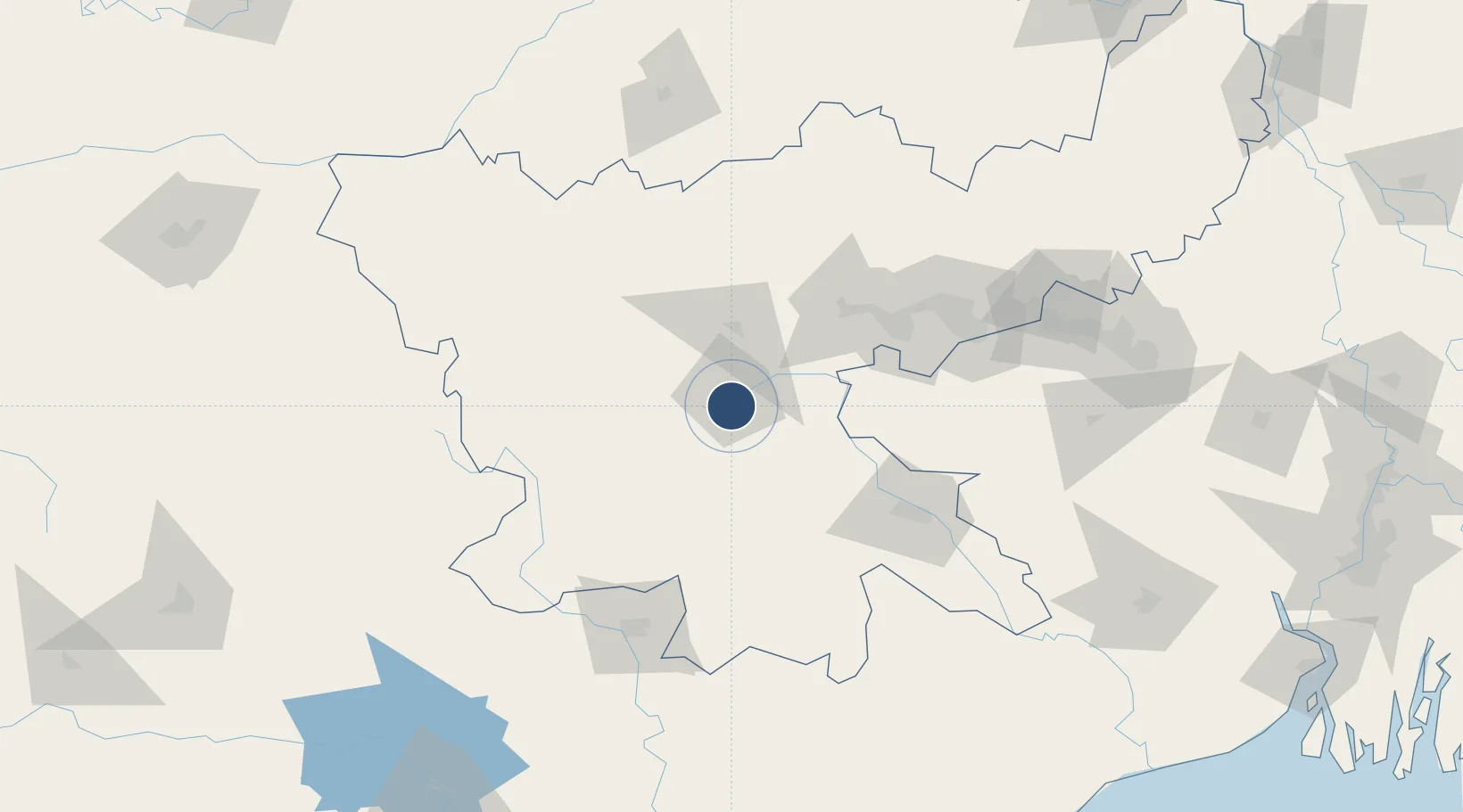
23.3143°, 85.3217°
8,855 ft
Longest runway
1
Runways
2,148 ft
Elevation

Runway & Layout

Birsa Munda Airport runway & taxiway layout
Runway & taxiway layout — OpenStreetMap (ODbL) / OurAirports

Radio Frequencies

TWR
118.05 MHz
RANCHI TWR
OurAirports

Navaids

RC NDB Ranchi 285 kHz
RRC VOR-DME Ranchi 116.90 MHz
OurAirports

Runways · 1

RunwayDimensions SurfaceTrue headingLit
13/31 8,855 × 148ft Asphalt 130°
OurAirports

Airport Specifications

IATA code
IXR
OurAirports
ICAO code
VERC
OurAirports
Airport class
Medium airport
OurAirports
Scheduled service
Yes
OurAirports
Runway surface
Asphalt
OurAirports
Served city
Ranchi
OurAirports

Location

Location of VERC
Natural Earth 10m (public domain) · Jharkhand · VERC · 23.31, 85.32GoogleOSMYandex

Nearby Logistics Neighbours

Airports
  1. 1Sonari Airport103 km
  2. 2Dhanbad Airport126 km
  3. 3Rourkela Airport129 km
  4. 4Gaya Airport163 km
  5. 5Deoghar Airport189 km
Nearest neighbours — logibook spatial index (haversine) over the source coordinates
Cities
  1. 1Ranchi4 km
  2. 2Namkum6 km
  3. 3Jamshedpur105 km
  4. 4Kodarma (Koderma)131 km
  5. 5Barbil135 km
Nearest neighbours — logibook spatial index (haversine) over the source coordinates
Ports
  1. 1Haldia Port318 km
  2. 2Calcutta320 km
  3. 3Dhamra325 km
  4. 4Paradip367 km
  5. 5Gopalpur448 km
Nearest neighbours — logibook spatial index (haversine) over the source coordinates
Trade Zones
  1. 1Adityapur Industrial area development authority104 km
  2. 2Falta Special Economic Zone307 km
  3. 3M.L. Dalmiya & Co Ltd.323 km
  4. 4M.L. Dalmiya and Company Limited323 km
  5. 5Falta Special Economic Zone323 km
Nearest neighbours — logibook spatial index (haversine) over the source coordinates
DatabookThe Record of Consolidated Knowledge
India beyond logistics?
Browse databook

All Sources

AirportsOurAirports
Public domain
Portsthe NGA World Port Index
Public domain (US gov)
LocationsUN/LOCODE
UN/LOCODE — free
Trade Zonesthe World Bank SEZ database
CC BY 4.0
Trade ZonesOpen Zone Map
CC BY
InfrastructureOpenStreetMap
ODbL 1.0
← India airports