Channel & Berth Profile
Pilotage, Tugs & Services
Pilotage compulsoryYES
Pilotage availableYES
Pilotage advisableYES
Tug assistanceYES
Potable waterYES
MedicalYES
Garbage disposalYES
Facilities & Capabilities
Container—
Ro-Ro—
Liquid bulk—
Dry bulk—
Oil terminal—
Break bulk—
Dry dock—
RepairsNO
BunkeringYES
Rail linkYES
Dangerous cargo—
ISPS security—
Harbour Specifications
Harbour size
Small
Harbour type
Coastal (Breakwater)
Shelter
Good
Water body
Bay of Bengal; Indian Ocean
Tidal range
2 m
Overhead limit
Yes
Pilotage
Yes
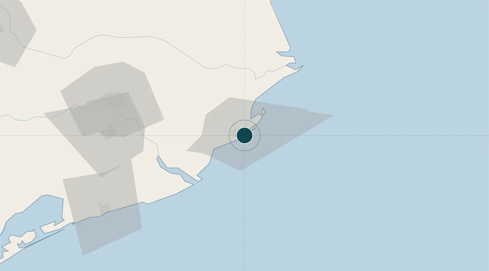
Location
Nearby Logistics Neighbours
Ports
- 1Dhamra68 km
- 2Gopalpur209 km
- 3Haldia Port243 km
- 4Calcutta306 km
- 5Mongla389 km
Cities
- 1Paradip Garh2 km
- 2Dhamara64 km
- 3Dhamra Port67 km
- 4ICD JSL/JAJPUR102 km
- 5Concor ICD/Balasore137 km
Airports
- 1Biju Patnaik International Airport91 km
- 2Sonari Airport288 km
- 3Rourkela Airport294 km
- 4Netaji Subhash Chandra Bose International Airport322 km
- 5Jharsuguda Airport329 km
Trade Zones
DatabookThe Record of Consolidated Knowledge
India beyond logistics?