Transport Functions
Multimodal
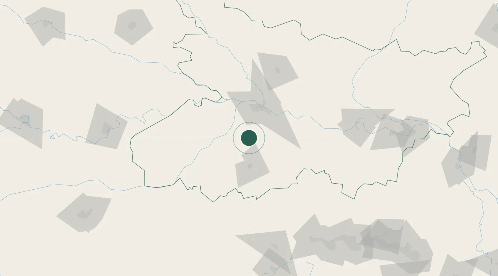
Hub Profile
Region
BR
Location
Nearby Logistics Neighbours
Cities
- 1Kodarma (Koderma)103 km
- 2Jahanabad120 km
- 3Munger151 km
- 4Pipraun Lcs167 km
- 5Varanasi200 km
Ports
- 1Calcutta450 km
- 2Haldia Port474 km
- 3Dhamra528 km
- 4Mongla559 km
- 5Paradip576 km
Airports
- 1Jay Prakash Narayan Airport45 km
- 2Gaya Airport51 km
- 3Muzaffarpur Airport107 km
- 4Darbhanga Airport145 km
- 5Janakpur Airport192 km
Trade Zones
DatabookThe Record of Consolidated Knowledge
India beyond logistics?