Medium airport · India
Dhanbad AirportVEDB
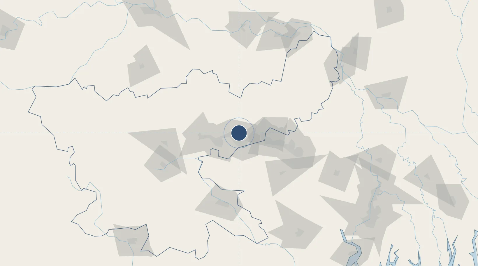
23.8340°, 86.4253°
3,728 ft
Longest runway
1
Runways
847 ft
Elevation
Runway & Layout

Runways · 1
| Runway | Dimensions | Surface | True heading | Lit |
|---|---|---|---|---|
| 07/25 | 3,728 × 93ft | Asphalt | 072° | — |
Airport Specifications
IATA code
DBD
ICAO code
VEDB
Airport class
Medium airport
Scheduled service
No
Runway surface
Asphalt
Location
Nearby Logistics Neighbours
Airports
- 1Deoghar Airport74 km
- 2Kazi Nazrul Islam Airport87 km
- 3Panagarh Air Force Station110 km
- 4Sonari Airport116 km
- 5Birsa Munda Airport126 km
Cities
- 1Bankura92 km
- 2Chirkunda99 km
- 3Durgapur103 km
- 4Kodarma (Koderma)109 km
- 5Jamshedpur118 km
Ports
- 1Calcutta242 km
- 2Haldia Port264 km
- 3Dhamra340 km
- 4Mongla358 km
- 5Paradip398 km
Trade Zones
DatabookThe Record of Consolidated Knowledge
India beyond logistics?