Diversified Zone · Nepal

Rautahat Special Economic Zone Under Development
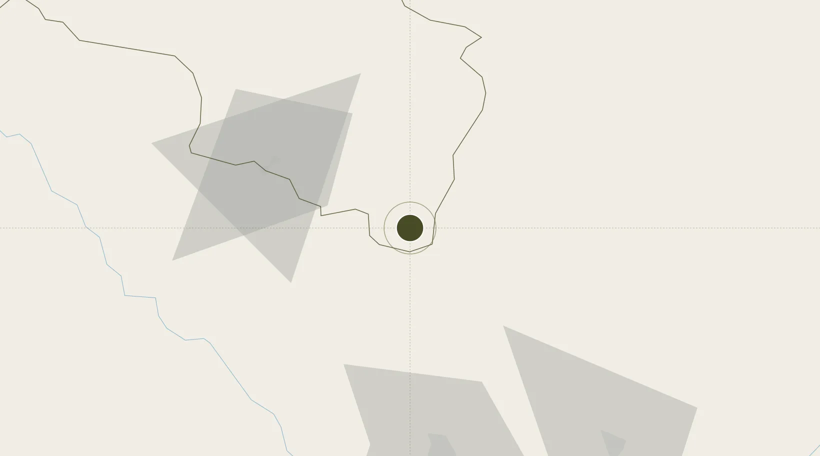
26.8090°, 85.2881°
106 ha
Zone area
564.7 km
Nearest port
49.5 km
Nearest airport

Gateway access

Nearest neighbours — logibook spatial index (haversine) over the source coordinates

Zone profile

Zone type
Diversified Zone
Open Zone Map
Region
Narayani
Open Zone Map
Status
Under Development
Open Zone Map
Management
Public
Open Zone Map
Operator
Special Economic Zone Authority, Nepal
Open Zone Map
Legal framework
Special Economic Zone Act, 2073 (2016).
Open Zone Map

Location

Location of ozm-2907
Natural Earth 10m (public domain) · Narayani · ozm-2907 · 26.81, 85.29GoogleOSMYandex

Nearby Logistics Neighbours

Ports
  1. 1Calcutta565 km
  2. 2Haldia Port603 km
  3. 3Mongla650 km
  4. 4Dhamra688 km
  5. 5Paradip741 km
Nearest neighbours — logibook spatial index (haversine) over the source coordinates
Airports
  1. 1Simara Airport50 km
  2. 2Janakpur Airport64 km
  3. 3Muzaffarpur Airport77 km
  4. 4Darbhanga Airport93 km
  5. 5Tribhuvan International Airport99 km
Nearest neighbours — logibook spatial index (haversine) over the source coordinates
Cities
  1. 1Birgunj ICD48 km
  2. 2Pipraun Lcs95 km
  3. 3Laukaha Lcs119 km
  4. 4Sikta Lcs121 km
  5. 5Triveni155 km
Nearest neighbours — logibook spatial index (haversine) over the source coordinates
Trade Zones
  1. 1Simara Special Economic Zone18 km
  2. 2Dhangadi Special Economic Zone48 km
  3. 3Dhanusha Special Economic Zone66 km
  4. 4Panchkhal Special Economic Zone100 km
  5. 5Kaspilvastu Special Economic Zone117 km
Nearest neighbours — logibook spatial index (haversine) over the source coordinates
DatabookThe Record of Consolidated Knowledge
Nepal beyond logistics?
Browse databook

All Sources

Trade ZonesOpen Zone Map
CC BY
Portsthe NGA World Port Index
Public domain (US gov)
AirportsOurAirports
Public domain
LocationsUN/LOCODE
UN/LOCODE — free
← Nepal trade zones