Transport Functions
Rail
Road
Airport
Hub Profile
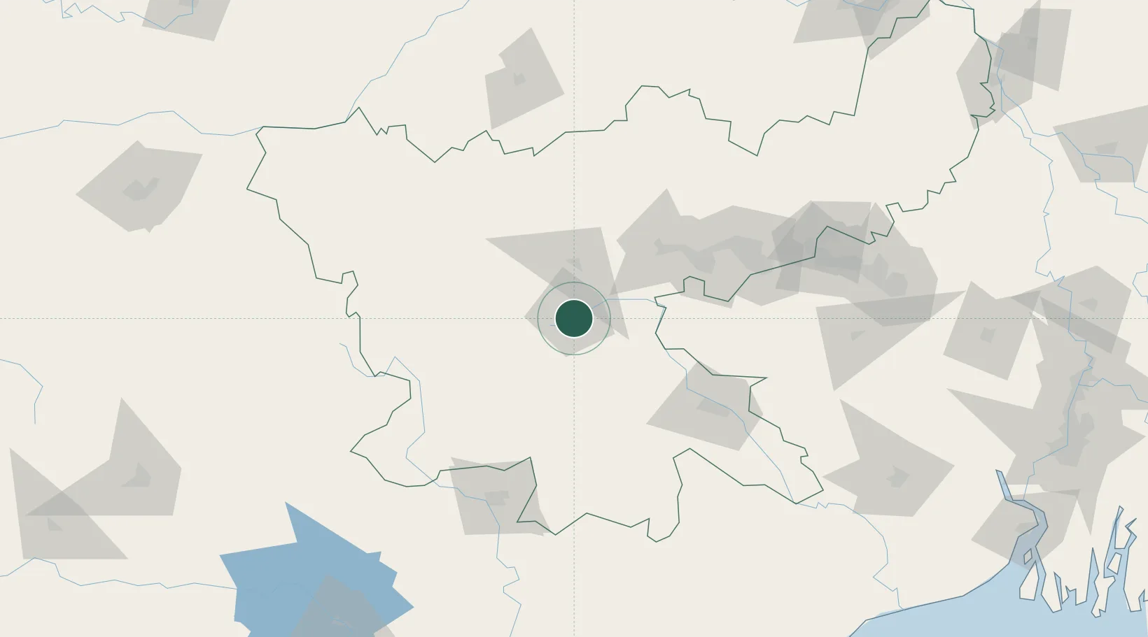
Place type
Regional capital
Region
Jharkhand
Population
1,120,374
Time zone
Asia/Kolkata
Elevation
643 m
Location
Nearby Logistics Neighbours
Cities
- 1Namkum3 km
- 2Jamshedpur106 km
- 3Kodarma (Koderma)127 km
- 4Barbil139 km
- 5Bankura177 km
Ports
- 1Haldia Port319 km
- 2Calcutta320 km
- 3Dhamra328 km
- 4Paradip370 km
- 5Mongla448 km
Airports
- 1Birsa Munda Airport4 km
- 2Sonari Airport104 km
- 3Dhanbad Airport124 km
- 4Rourkela Airport133 km
- 5Gaya Airport160 km
Trade Zones
DatabookThe Record of Consolidated Knowledge
India beyond logistics?