Diversified Zone · Nepal

Dhanusha Special Economic Zone Under Development
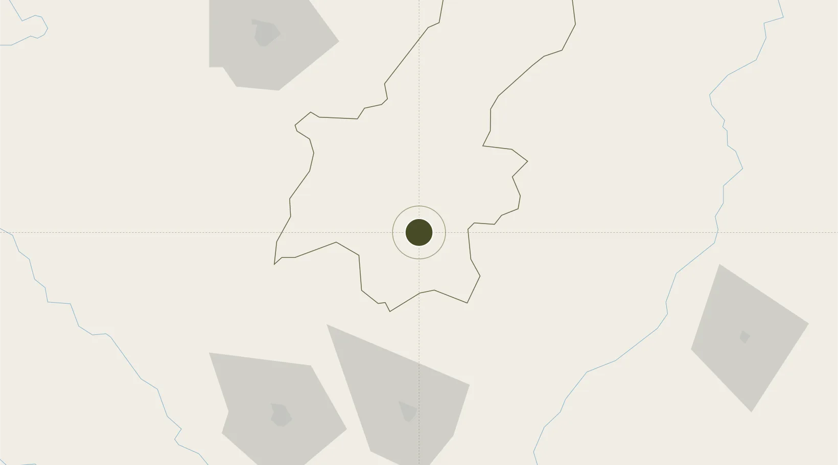
26.8907°, 85.9487°
55 ha
Zone area
539.4 km
Nearest port
20.4 km
Nearest airport

Gateway access

Nearest neighbours — logibook spatial index (haversine) over the source coordinates

Zone profile

Zone type
Diversified Zone
Open Zone Map
Region
Janakpur
Open Zone Map
Status
Under Development
Open Zone Map
Management
Public
Open Zone Map
Operator
Special Economic Zone Authority, Nepal
Open Zone Map
Legal framework
Special Economic Zone Act, 2073 (2016).
Open Zone Map

Location

Location of ozm-2906
Natural Earth 10m (public domain) · Janakpur · ozm-2906 · 26.89, 85.95GoogleOSMYandex

Nearby Logistics Neighbours

Ports
  1. 1Calcutta539 km
  2. 2Haldia Port583 km
  3. 3Mongla615 km
  4. 4Dhamra683 km
  5. 5Paradip740 km
Nearest neighbours — logibook spatial index (haversine) over the source coordinates
Airports
  1. 1Janakpur Airport20 km
  2. 2Darbhanga Airport78 km
  3. 3Simara Airport101 km
  4. 4Muzaffarpur Airport107 km
  5. 5Tribhuvan International Airport107 km
Nearest neighbours — logibook spatial index (haversine) over the source coordinates
Cities
  1. 1Laukaha Lcs63 km
  2. 2Pipraun Lcs63 km
  3. 3Birgunj ICD108 km
  4. 4Pratapganj121 km
  5. 5Biratnagar140 km
Nearest neighbours — logibook spatial index (haversine) over the source coordinates
Trade Zones
  1. 1Dhangadi Special Economic Zone19 km
  2. 2Simara Special Economic Zone48 km
  3. 3Rautahat Special Economic Zone66 km
  4. 4Panchkhal Special Economic Zone90 km
  5. 5Gorkha Special Economic Zone129 km
Nearest neighbours — logibook spatial index (haversine) over the source coordinates
DatabookThe Record of Consolidated Knowledge
Nepal beyond logistics?
Browse databook

All Sources

Trade ZonesOpen Zone Map
CC BY
Portsthe NGA World Port Index
Public domain (US gov)
AirportsOurAirports
Public domain
LocationsUN/LOCODE
UN/LOCODE — free
← Nepal trade zones