Seaport · India
Haldia PortINHAL
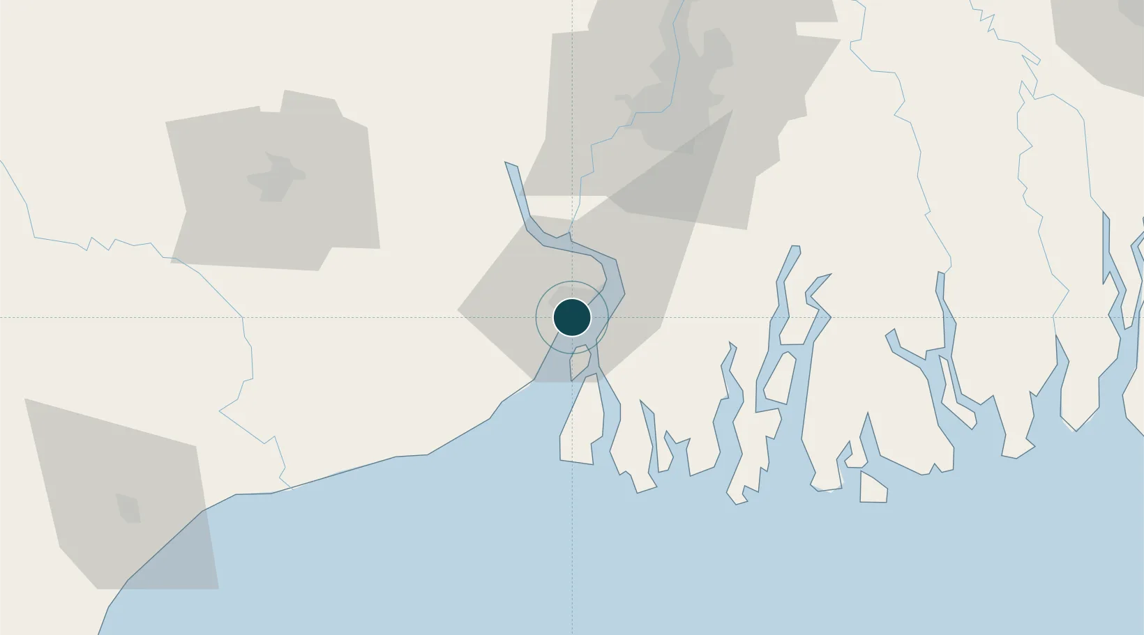
22.0167°, 88.0833°
7.9 m
Channel depth
1
Container terminals
58.7
Port liner connectivity
Channel & Berth Profile
Pilotage, Tugs & Services
Pilotage compulsoryYES
Pilotage availableYES
Tug assistanceYES
Potable waterYES
Diesel bunkersNO
MedicalYES
Facilities & Capabilities
Container—
Ro-Ro—
Liquid bulk—
Dry bulk—
Oil terminal—
Break bulk—
Dry dockNO
RepairsNO
BunkeringYES
Rail linkYES
Dangerous cargo—
ISPS security—
Harbour Specifications
Harbour size
Very Small
Harbour type
River (Natural)
Shelter
Fair
Water body
Bay of Bengal; Indian Ocean
Tidal range
3 m
Pilotage
Yes
Liner Connectivity
58.7
PLSCI
Port Liner Shipping Connectivity Index for Haldia Port, as published by UNCTAD for the latest available quarter. Higher values indicate stronger scheduled liner-shipping integration.
Shown relative to the highest per-port PLSCI in the dataset (1,657.9).
Location
Container Terminals · 1
HALDIA INTERNATIONAL CONTAINER TERMINAL (HICT)
HICT
Nearby Logistics Neighbours
Ports
- 1Calcutta65 km
- 2Mongla164 km
- 3Dhamra177 km
- 4Paradip243 km
- 5Chittagong386 km
Cities
- 1Falta30 km
- 2Garden Reach60 km
- 3Alipore61 km
- 4Kolkata (ex Calcutta)63 km
- 5Howrah68 km
Airports
- 1Netaji Subhash Chandra Bose International Airport80 km
- 2Jessore Airport171 km
- 3Panagarh Air Force Station176 km
- 4Kazi Nazrul Islam Airport198 km
- 5Sonari Airport216 km
Trade Zones
DatabookThe Record of Consolidated Knowledge
India beyond logistics?