Medium airport · India

Muzaffarpur AirportVEMZ
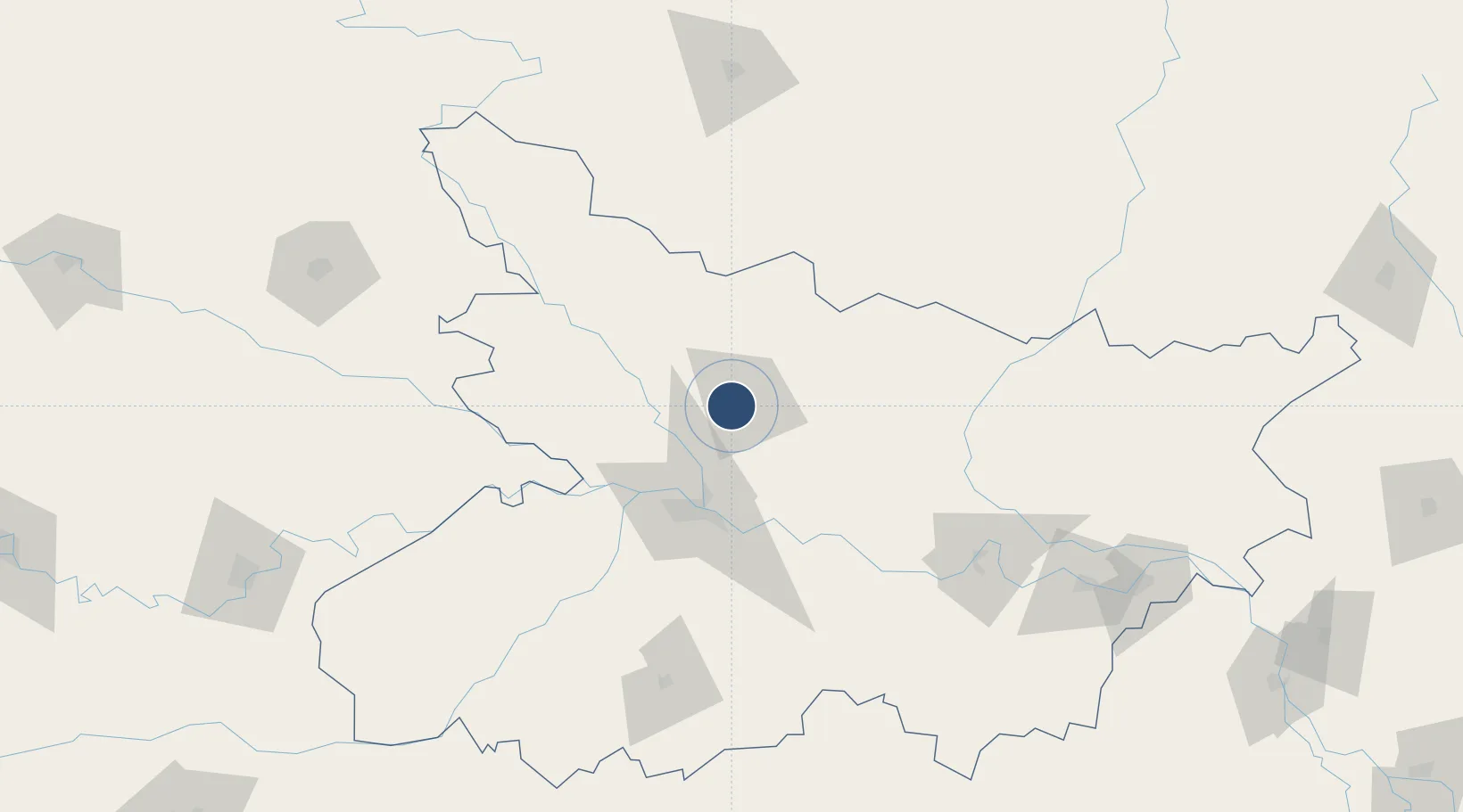
26.1191°, 85.3137°
3,990 ft
Longest runway
1
Runways
174 ft
Elevation

Runway & Layout

Muzaffarpur Airport runway & taxiway layout
Runway & taxiway layout — OpenStreetMap (ODbL) / OurAirports

Runways · 1

RunwayDimensions SurfaceTrue headingLit
10/28 3,990 × 90ft Asphalt 105°
OurAirports

Airport Specifications

IATA code
MZU
OurAirports
ICAO code
VEMZ
OurAirports
Airport class
Medium airport
OurAirports
Scheduled service
No
OurAirports
Runway surface
Asphalt
OurAirports
Served city
Muzaffarpur
OurAirports

Location

Location of VEMZ
Natural Earth 10m (public domain) · Bihar · VEMZ · 26.12, 85.31GoogleOSMYandex

Nearby Logistics Neighbours

Airports
  1. 1Darbhanga Airport61 km
  2. 2Jay Prakash Narayan Airport63 km
  3. 3Janakpur Airport89 km
  4. 4Simara Airport120 km
  5. 5Gaya Airport157 km
Nearest neighbours — logibook spatial index (haversine) over the source coordinates
Cities
  1. 1Pipraun Lcs80 km
  2. 2Jehanabad107 km
  3. 3Birgunj ICD109 km
  4. 4Laukaha Lcs123 km
  5. 5Munger142 km
Nearest neighbours — logibook spatial index (haversine) over the source coordinates
Ports
  1. 1Calcutta501 km
  2. 2Haldia Port536 km
  3. 3Mongla595 km
  4. 4Dhamra613 km
  5. 5Paradip666 km
Nearest neighbours — logibook spatial index (haversine) over the source coordinates
Trade Zones
  1. 1Rautahat Special Economic Zone77 km
  2. 2Simara Special Economic Zone79 km
  3. 3Dhangadi Special Economic Zone94 km
  4. 4Dhanusha Special Economic Zone107 km
  5. 5Panchkhal Special Economic Zone174 km
Nearest neighbours — logibook spatial index (haversine) over the source coordinates
DatabookThe Record of Consolidated Knowledge
India beyond logistics?
Browse databook

All Sources

AirportsOurAirports
Public domain
Portsthe NGA World Port Index
Public domain (US gov)
LocationsUN/LOCODE
UN/LOCODE — free
Trade Zonesthe World Bank SEZ database
CC BY 4.0
Trade ZonesOpen Zone Map
CC BY
InfrastructureOpenStreetMap
ODbL 1.0
← India airports