UN/LOCODE hub · India
INKDA

Kodarma (Koderma)

24.4667°, 85.6000°
1
Transport functions

Transport Functions

Multimodal
UN/LOCODE

Hub Profile

Region
JH
GeoNames

Location

Location of INKDA
Natural Earth 10m (public domain) · JH · INKDA · 24.47, 85.60GoogleOSMYandex

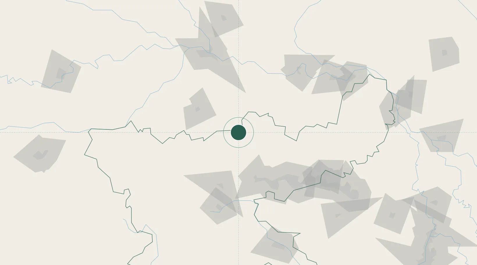
Nearby Logistics Neighbours

Cities
  1. 1Jehanabad103 km
  2. 2Namkum126 km
  3. 3Ranchi127 km
  4. 4Munger134 km
  5. 5Chirkunda174 km
Nearest neighbours — logibook spatial index (haversine) over the source coordinates
Ports
  1. 1Calcutta351 km
  2. 2Haldia Port372 km
  3. 3Dhamra429 km
  4. 4Mongla465 km
  5. 5Paradip480 km
Nearest neighbours — logibook spatial index (haversine) over the source coordinates
Airports
  1. 1Gaya Airport73 km
  2. 2Dhanbad Airport109 km
  3. 3Deoghar Airport112 km
  4. 4Birsa Munda Airport131 km
  5. 5Jay Prakash Narayan Airport135 km
Nearest neighbours — logibook spatial index (haversine) over the source coordinates
Trade Zones
  1. 1Adityapur Industrial area development authority196 km
  2. 2Simara Special Economic Zone262 km
  3. 3Rautahat Special Economic Zone262 km
  4. 4Dhangadi Special Economic Zone267 km
  5. 5Chapainawabganj Economic Zone270 km
Nearest neighbours — logibook spatial index (haversine) over the source coordinates
DatabookThe Record of Consolidated Knowledge
India beyond logistics?
Browse databook

All Sources

LocationsUN/LOCODE
UN/LOCODE — free
Portsthe NGA World Port Index
Public domain (US gov)
AirportsOurAirports
Public domain
Trade Zonesthe World Bank SEZ database
CC BY 4.0
Trade ZonesOpen Zone Map
CC BY
← India locations