Seaport · India
CalcuttaINCCU
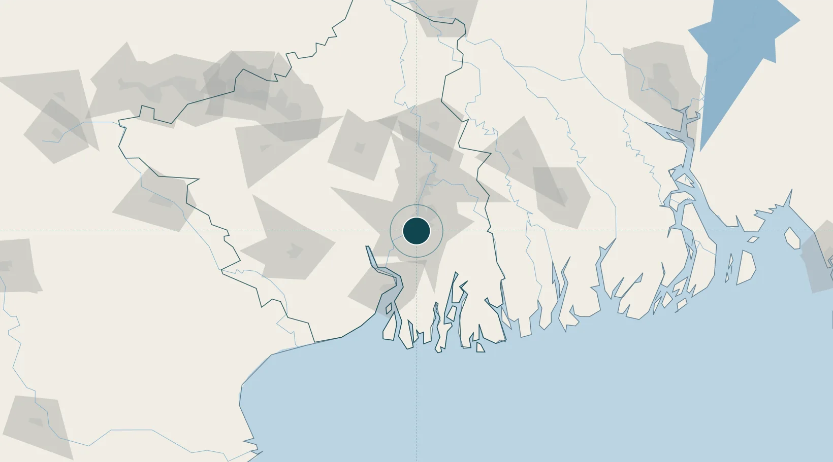
22.5500°, 88.3333°
7.9 m
Channel depth
1
Container terminals
105.9
Port liner connectivity
Channel & Berth Profile
Pilotage, Tugs & Services
Pilotage compulsoryYES
Pilotage availableYES
Pilotage advisableYES
Tug assistanceYES
Salvage tugsYES
Shore powerYES
Potable waterYES
MedicalYES
Facilities & Capabilities
Container—
Ro-Ro—
Liquid bulk—
Dry bulk—
Oil terminal—
Break bulk—
Dry dockNO
RepairsNO
BunkeringYES
Rail linkYES
Dangerous cargo—
ISPS security—
Harbour Specifications
Harbour size
Large
Harbour type
River (Natural)
Shelter
Good
Water body
Bay of Bengal; Indian Ocean
Tidal range
2 m
Overhead limit
Yes
Pilotage
Yes
Liner Connectivity
105.9
PLSCI
Port Liner Shipping Connectivity Index for Calcutta, as published by UNCTAD for the latest available quarter. Higher values indicate stronger scheduled liner-shipping integration.
Shown relative to the highest per-port PLSCI in the dataset (1,657.9).
Location
Container Terminals · 1
KOLKATA DOCK SYSTEM (KDS)
CALCUT KOLKATA PORT TRUST
Nearby Logistics Neighbours
Ports
- 1Haldia Port65 km
- 2Mongla130 km
- 3Dhamra239 km
- 4Paradip306 km
- 5Chittagong359 km
Cities
- 1Kolkata IT Park/Bantala4 km
- 2Wipro SEZ/Kolkata4 km
- 3Alipore4 km
- 4Garden Reach5 km
- 5Howrah9 km
Airports
- 1Netaji Subhash Chandra Bose International Airport17 km
- 2Jessore Airport110 km
- 3Panagarh Air Force Station138 km
- 4Kazi Nazrul Islam Airport163 km
- 5Ishurdi Airport193 km
Trade Zones
DatabookThe Record of Consolidated Knowledge
India beyond logistics?