UN/LOCODE hub · India
INNMK

Namkum

23.3500°, 85.3667°
2
Transport functions

Transport Functions

Rail
Road
UN/LOCODE

Hub Profile

Region
JH
GeoNames

Location

Location of INNMK
Natural Earth 10m (public domain) · JH · INNMK · 23.35, 85.37GoogleOSMYandex

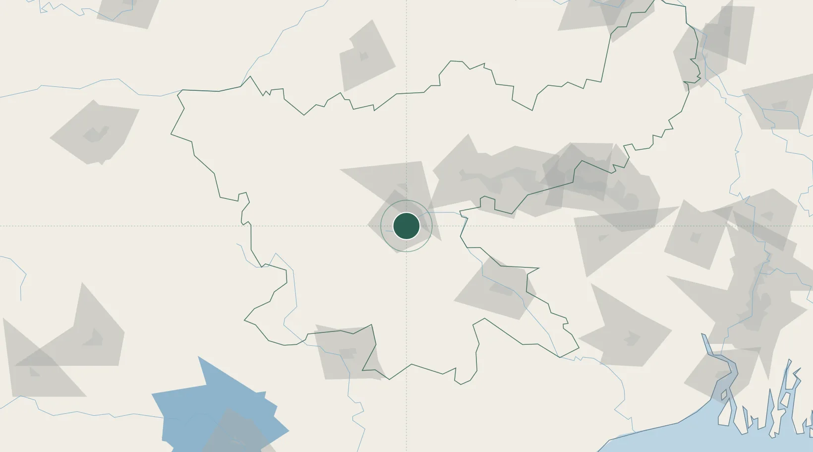
Nearby Logistics Neighbours

Cities
  1. 1Ranchi3 km
  2. 2Jamshedpur104 km
  3. 3Kodarma (Koderma)126 km
  4. 4Barbil139 km
  5. 5Bankura174 km
Nearest neighbours — logibook spatial index (haversine) over the source coordinates
Ports
  1. 1Haldia Port316 km
  2. 2Calcutta317 km
  3. 3Dhamra326 km
  4. 4Paradip369 km
  5. 5Mongla445 km
Nearest neighbours — logibook spatial index (haversine) over the source coordinates
Airports
  1. 1Birsa Munda Airport6 km
  2. 2Sonari Airport101 km
  3. 3Dhanbad Airport121 km
  4. 4Rourkela Airport134 km
  5. 5Gaya Airport161 km
Nearest neighbours — logibook spatial index (haversine) over the source coordinates
Trade Zones
  1. 1Adityapur Industrial area development authority103 km
  2. 2Falta Special Economic Zone305 km
  3. 3M.L. Dalmiya & Co Ltd.319 km
  4. 4M.L. Dalmiya and Company Limited319 km
  5. 5Falta Special Economic Zone320 km
Nearest neighbours — logibook spatial index (haversine) over the source coordinates
DatabookThe Record of Consolidated Knowledge
India beyond logistics?
Browse databook

All Sources

LocationsUN/LOCODE
UN/LOCODE — free
Portsthe NGA World Port Index
Public domain (US gov)
AirportsOurAirports
Public domain
Trade Zonesthe World Bank SEZ database
CC BY 4.0
Trade ZonesOpen Zone Map
CC BY
← India locations