Small airport · India
Deoghar AirportVEDO
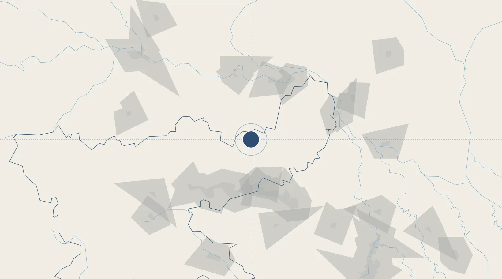
24.4468°, 86.7050°
2,398 ft
Longest runway
1
Runways
361 ft
Elevation
Runway & Layout

Runways · 1
| Runway | Dimensions | Surface | True heading | Lit |
|---|---|---|---|---|
| 09/27 | 2,398 × —ft | paved | — | — |
Airport Specifications
IATA code
DGH
ICAO code
VEDO
Airport class
Small airport
Scheduled service
Yes
Runway surface
paved
Served city
Deoghar
Location
Nearby Logistics Neighbours
Airports
- 1Dhanbad Airport74 km
- 2Kazi Nazrul Islam Airport107 km
- 3Panagarh Air Force Station131 km
- 4Gaya Airport180 km
- 5Birsa Munda Airport189 km
Cities
- 1Chirkunda65 km
- 2Munger107 km
- 3Kodarma (Koderma)112 km
- 4Durgapur126 km
- 5Bankura138 km
Ports
- 1Calcutta268 km
- 2Haldia Port305 km
- 3Mongla368 km
- 4Dhamra405 km
- 5Paradip465 km
Trade Zones
DatabookThe Record of Consolidated Knowledge
India beyond logistics?