Diversified Zone · Nepal

Dhangadi Special Economic Zone Under Development
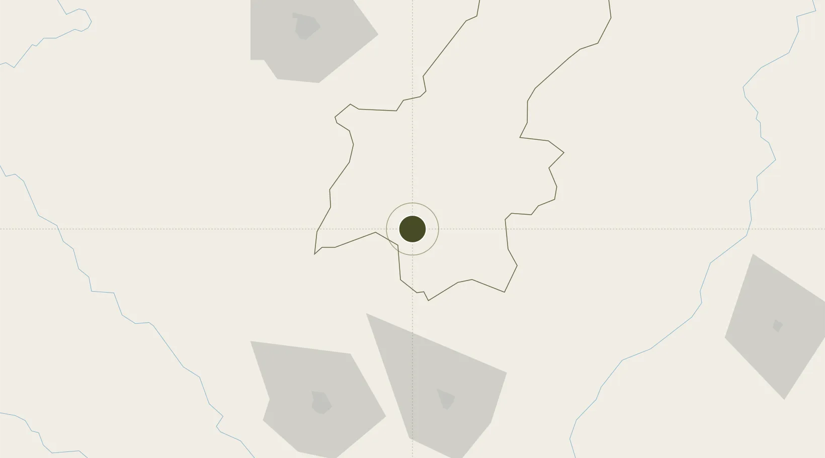
26.8645°, 85.7630°
180 ha
Zone area
545.5 km
Nearest port
23.5 km
Nearest airport

Gateway access

Nearest neighbours — logibook spatial index (haversine) over the source coordinates

Zone profile

Zone type
Diversified Zone
Open Zone Map
Region
Janakpur
Open Zone Map
Status
Under Development
Open Zone Map
Management
Public
Open Zone Map
Operator
Special Economic Zone Authority, Nepal
Open Zone Map
Legal framework
Special Economic Zone Act, 2073 (2016).
Open Zone Map

Location

Location of ozm-2902
Natural Earth 10m (public domain) · Janakpur · ozm-2902 · 26.86, 85.76GoogleOSMYandex

Nearby Logistics Neighbours

Ports
  1. 1Calcutta546 km
  2. 2Haldia Port588 km
  3. 3Mongla624 km
  4. 4Dhamra684 km
  5. 5Paradip740 km
Nearest neighbours — logibook spatial index (haversine) over the source coordinates
Airports
  1. 1Janakpur Airport24 km
  2. 2Darbhanga Airport76 km
  3. 3Simara Airport84 km
  4. 4Muzaffarpur Airport94 km
  5. 5Tribhuvan International Airport101 km
Nearest neighbours — logibook spatial index (haversine) over the source coordinates
Cities
  1. 1Pipraun Lcs67 km
  2. 2Laukaha Lcs77 km
  3. 3Birgunj ICD90 km
  4. 4Pratapganj135 km
  5. 5Biratnagar157 km
Nearest neighbours — logibook spatial index (haversine) over the source coordinates
Trade Zones
  1. 1Dhanusha Special Economic Zone19 km
  2. 2Simara Special Economic Zone30 km
  3. 3Rautahat Special Economic Zone48 km
  4. 4Panchkhal Special Economic Zone88 km
  5. 5Nuwakot Special Economic Zone131 km
Nearest neighbours — logibook spatial index (haversine) over the source coordinates
DatabookThe Record of Consolidated Knowledge
Nepal beyond logistics?
Browse databook

All Sources

Trade ZonesOpen Zone Map
CC BY
Portsthe NGA World Port Index
Public domain (US gov)
AirportsOurAirports
Public domain
LocationsUN/LOCODE
UN/LOCODE — free
← Nepal trade zones