Seaport · India

DhamraINDMQ

20.8167°, 86.9667°
17.0 m
Channel depth
Dhamra is also a UN/LOCODE logistics hub →

Channel & Berth Profile

SEA LEVEL (CD)CHANNEL BEDChannel · 17.0 mCargo pier · 19.0 m
NGA World Port Index

Facilities & Capabilities

Container
Ro-Ro
Liquid bulk
Dry bulk
Oil terminal
Break bulk
Dry dock
Repairs
Bunkering
Rail link
Dangerous cargo
ISPS security
NGA World Port Index

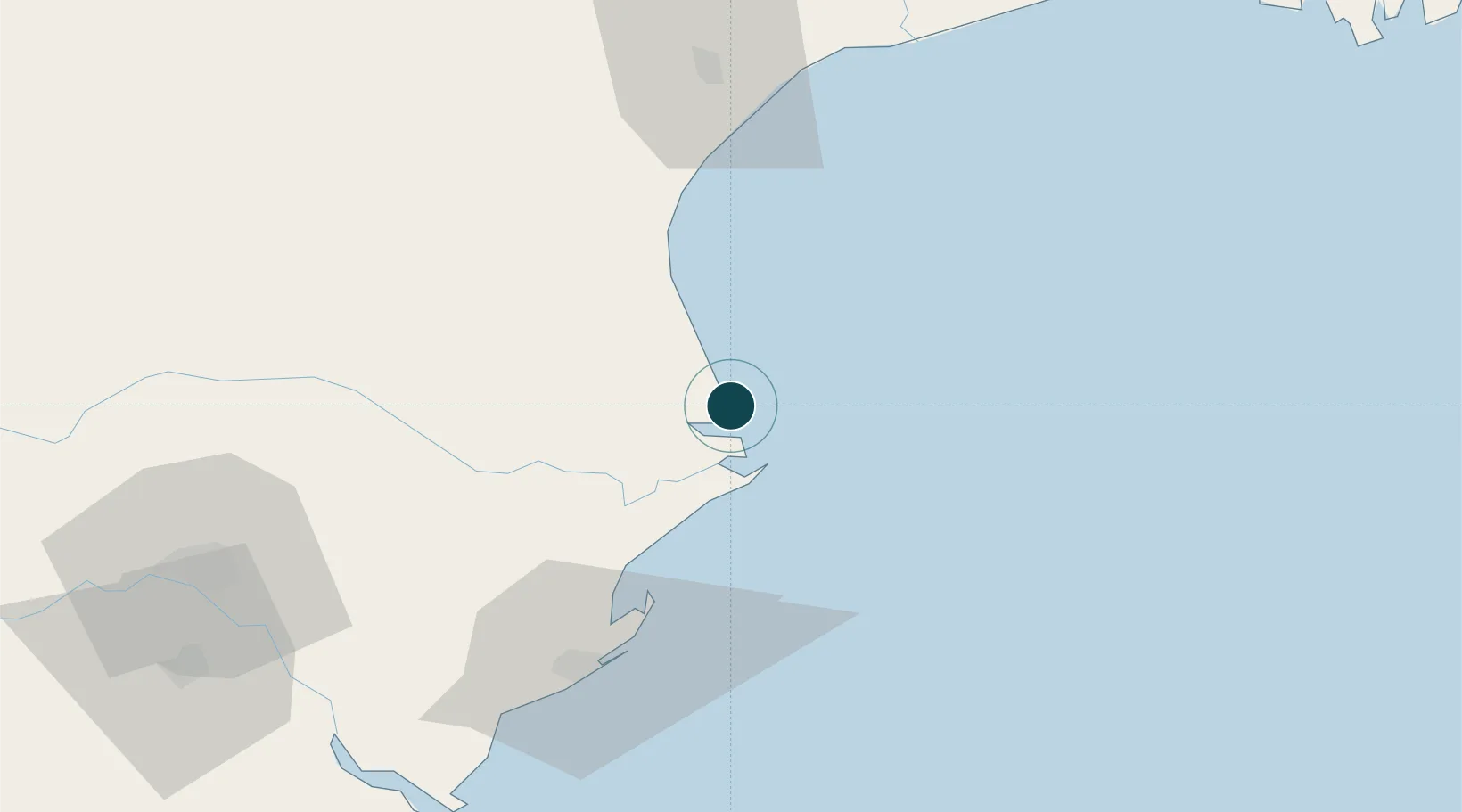
Harbour Specifications

Water body
Bay of Bengal; Indian Ocean
NGA World Port Index

Location

Location of INDMQ
Natural Earth 10m (public domain) · Odisha · INDMQ · 20.82, 86.97GoogleOSMYandex

Nearby Logistics Neighbours

Ports
  1. 1Paradip68 km
  2. 2Haldia Port177 km
  3. 3Calcutta239 km
  4. 4Gopalpur268 km
  5. 5Mongla328 km
Nearest neighbours — logibook spatial index (haversine) over the source coordinates
Cities
  1. 1Dhamara7 km
  2. 2Paradip Garh69 km
  3. 3Concor ICD/Balasore74 km
  4. 4Paradip Port75 km
  5. 5ICD JSL/JAJPUR96 km
Nearest neighbours — logibook spatial index (haversine) over the source coordinates
Airports
  1. 1Biju Patnaik International Airport135 km
  2. 2Sonari Airport237 km
  3. 3Netaji Subhash Chandra Bose International Airport255 km
  4. 4Rourkela Airport274 km
  5. 5Panagarh Air Force Station299 km
Nearest neighbours — logibook spatial index (haversine) over the source coordinates
Trade Zones
  1. 1Orissa Industrial Development Corporation131 km
  2. 2Hindalco Industries Limited132 km
  3. 3Falta Special Economic Zone200 km
  4. 4Adityapur Industrial area development authority234 km
  5. 5M.L. Dalmiya and Company Limited240 km
Nearest neighbours — logibook spatial index (haversine) over the source coordinates
DatabookThe Record of Consolidated Knowledge
India beyond logistics?
Browse databook

All Sources

Portsthe NGA World Port Index
Public domain (US gov)
AirportsOurAirports
Public domain
LocationsUN/LOCODE
UN/LOCODE — free
Trade Zonesthe World Bank SEZ database
CC BY 4.0
Trade ZonesOpen Zone Map
CC BY
← India ports