Transport Functions
Rail
Road
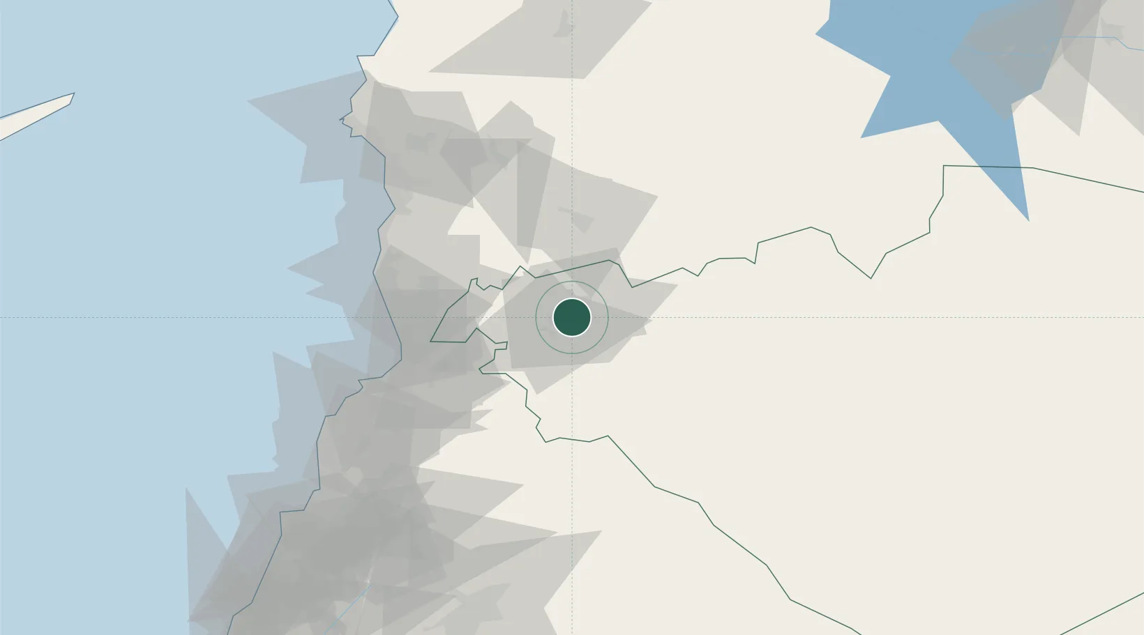
Hub Profile
Place type
Regional capital
Region
Homs
Population
775,404
Time zone
Asia/Damascus
Elevation
508 m
Location
Nearby Logistics Neighbours
Cities
- 1'Ablah77 km
- 2Tartus80 km
- 3Arwad80 km
- 4Tartus Oil Terminal80 km
- 5Baniyas86 km
Ports
- 1Tartus80 km
- 2Baniyas87 km
- 3Tarabulus87 km
- 4Selaata109 km
- 5Al Ladhiqiyah124 km
Airports
- 1Al Qusayr Air Base23 km
- 2Rene Mouawad Air Base67 km
- 3An Nasiriyah Air Base92 km
- 4Latakia International Airport102 km
- 5Wujah Al Hajar Air Base108 km
Trade Zones
- 1Tartous Tartus Free Zone79 km
- 2Tripoli Special Economic Zone87 km
- 3LatakiaLattakia Free Zone119 km
- 4Latakia Lattakia Free Port123 km
- 5Adra Free Zone126 km
DatabookThe Record of Consolidated Knowledge
Syria beyond logistics?